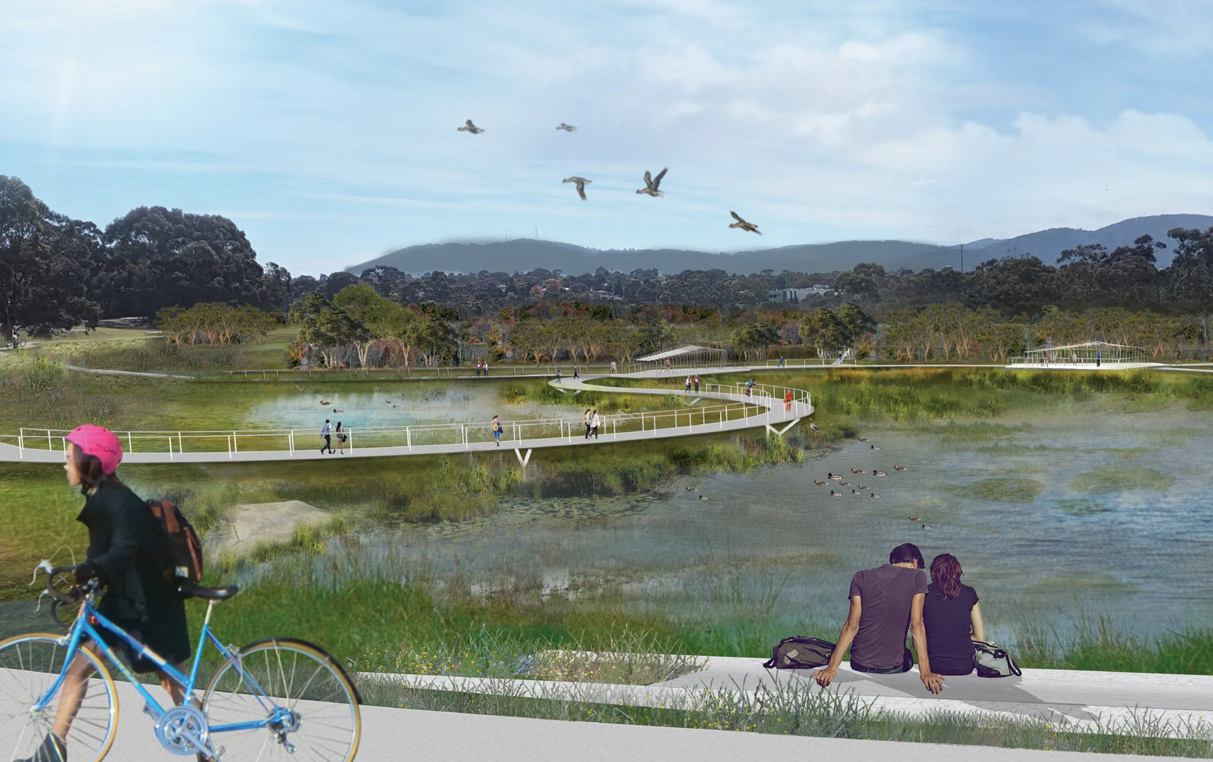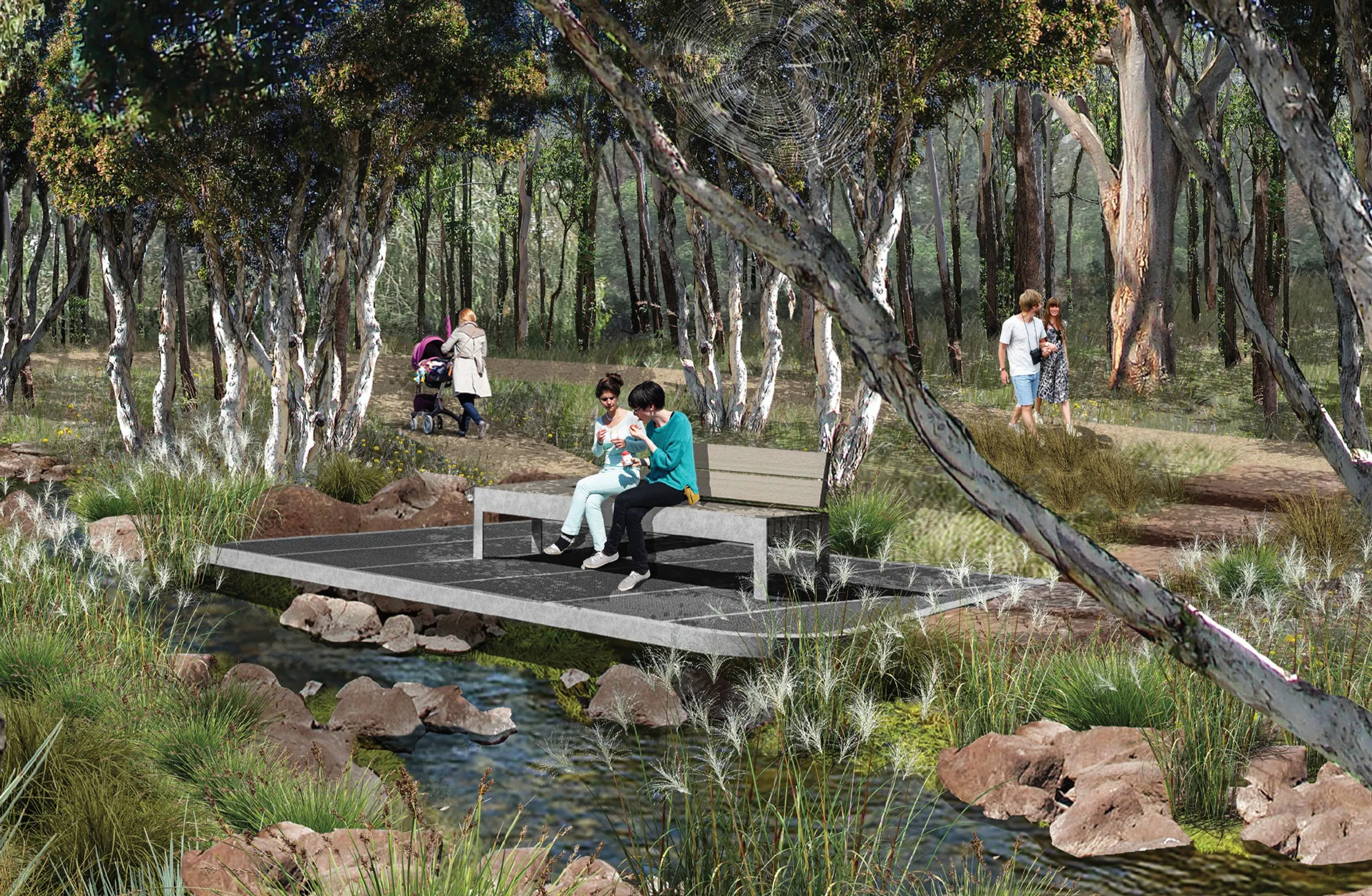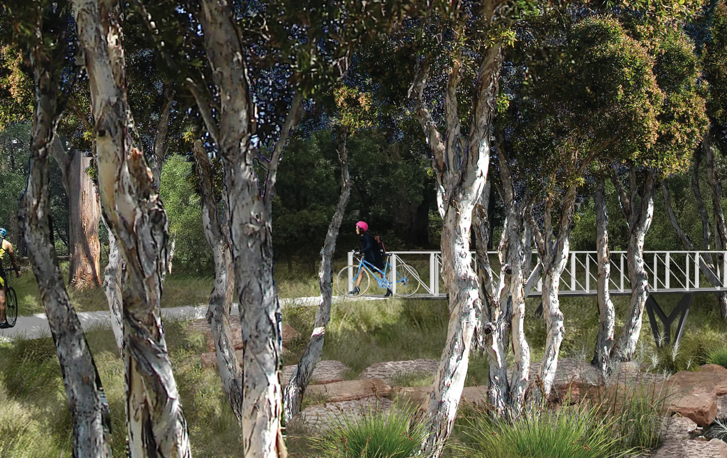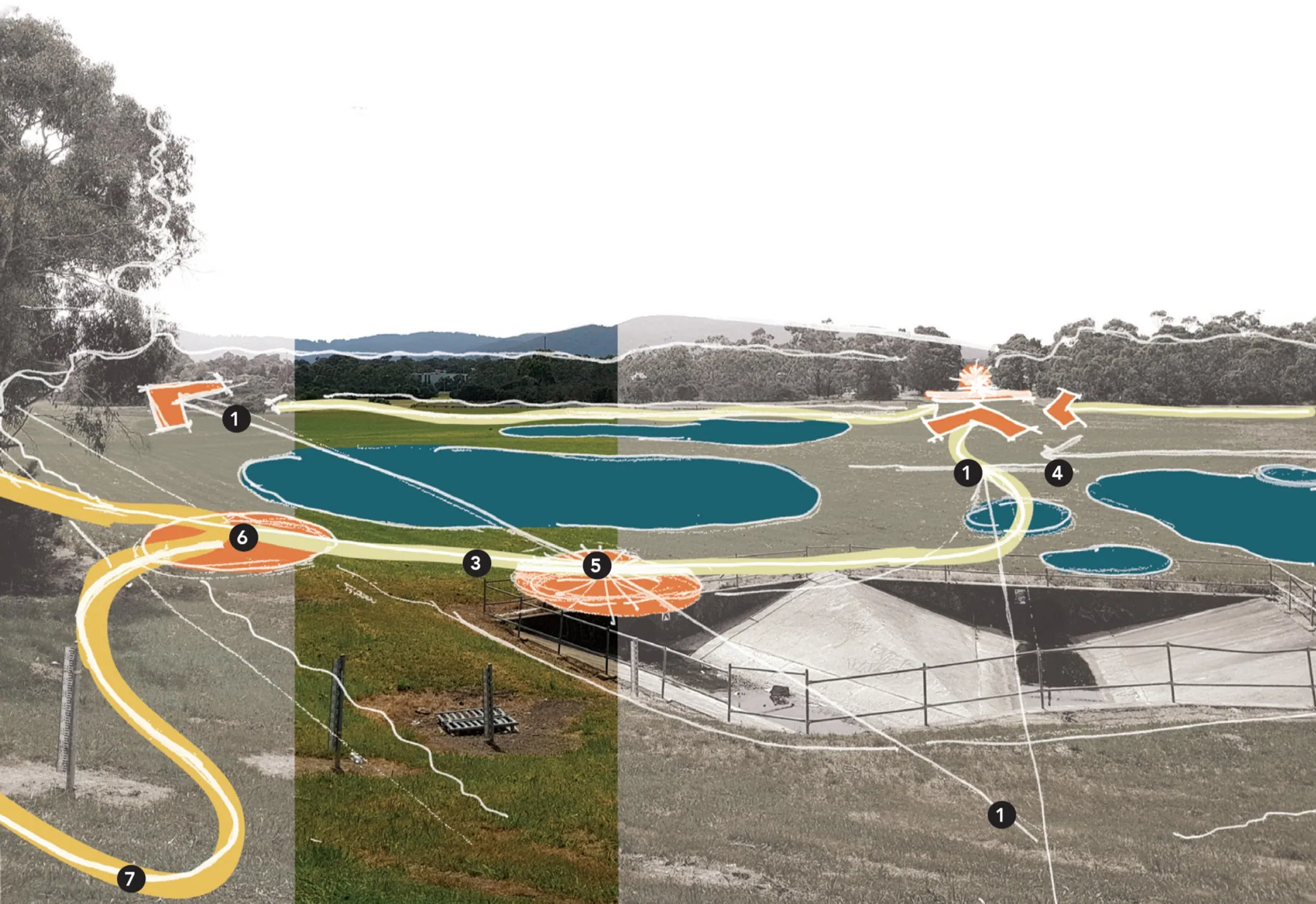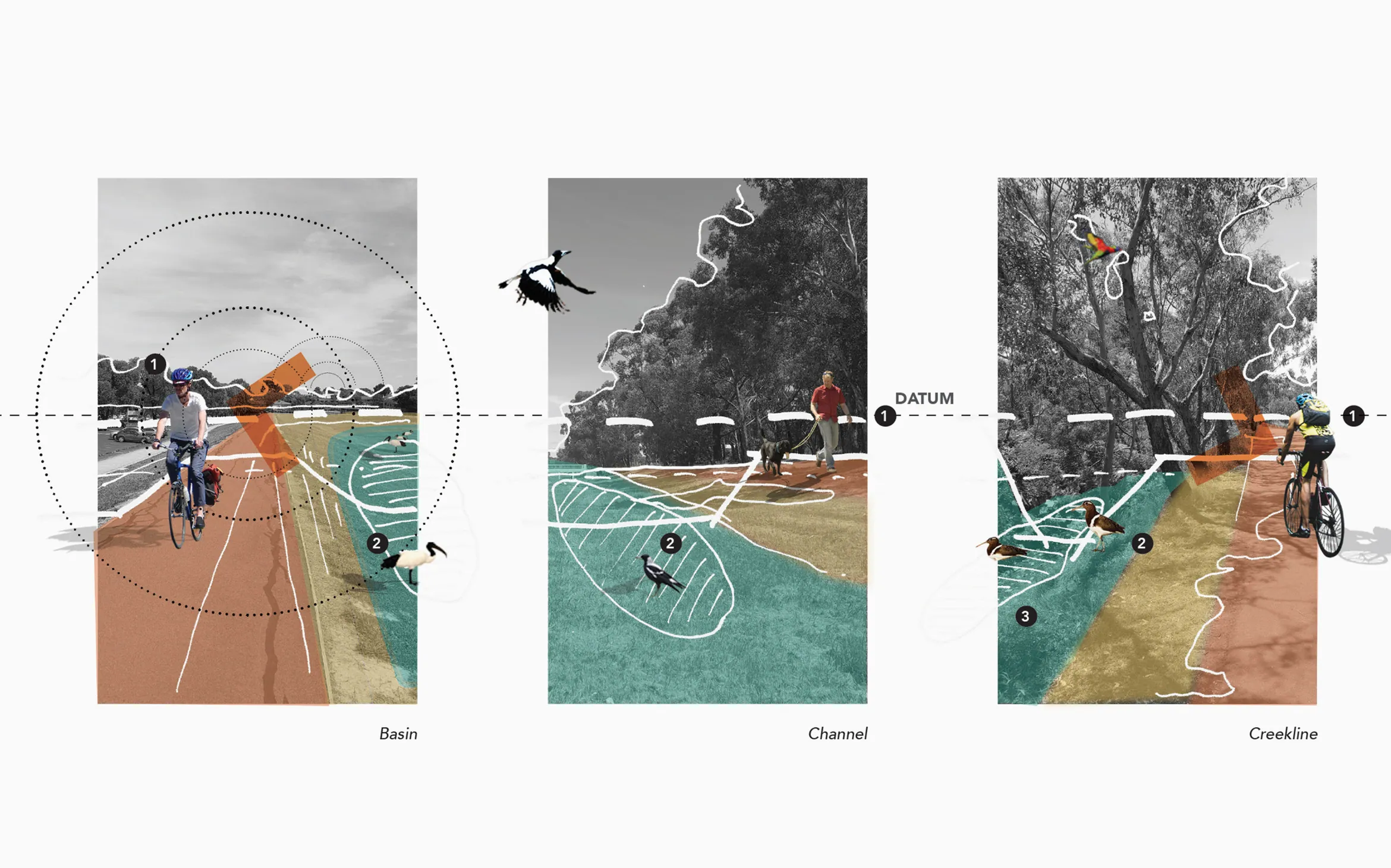
Situated at the foothills of the Dandenong Ranges in the City of Knox, Lewis Park is a significant piece of water infrastructure that doubles as a public open space for the community. Blind Creek, which runs through Lewis Park, was piped and channelised in the 1960s, reducing the biodiversity of the creek corridor and creating a disconnect between the water systems and surrounding residents.
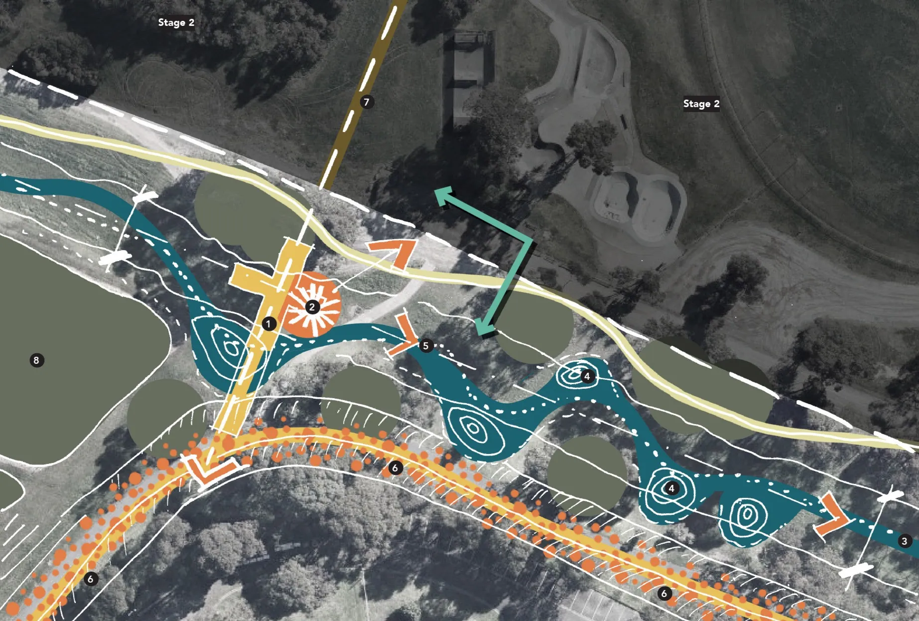
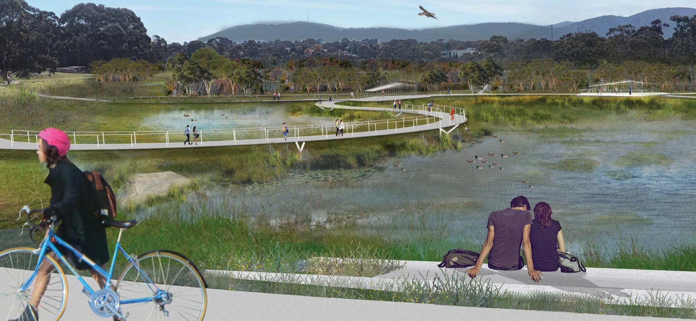
This project aims to strengthen the user experience of and the community’s connection to the waterway system which runs through the municipality. This aim will be met by daylighting a total of 1650m of the concrete piped creekline, a long with several other initiatives.
The broader site context consists of smaller reserves, parks, schools, residential land, light industry and a major commercial hub. This interface (as outlined in the Knox Central Structure Plan 2016) has provisions for future residential and commercial developments directly adjacent to the site. McGregor Coxall’s Lewis Park Masterplan published in February 2019 responds to this future condition and illustrates the future proposition for the Park.
Driven by a collaborative dialogue between Knox City Council, Melbourne Water, the design team, the local community and close consideration of The Masterplan (McGregor Coxall, 2019), this project will enhance the existing amenity of the site by creating increased interaction with the waterway, enhanced connectivity and flexible open spaces.