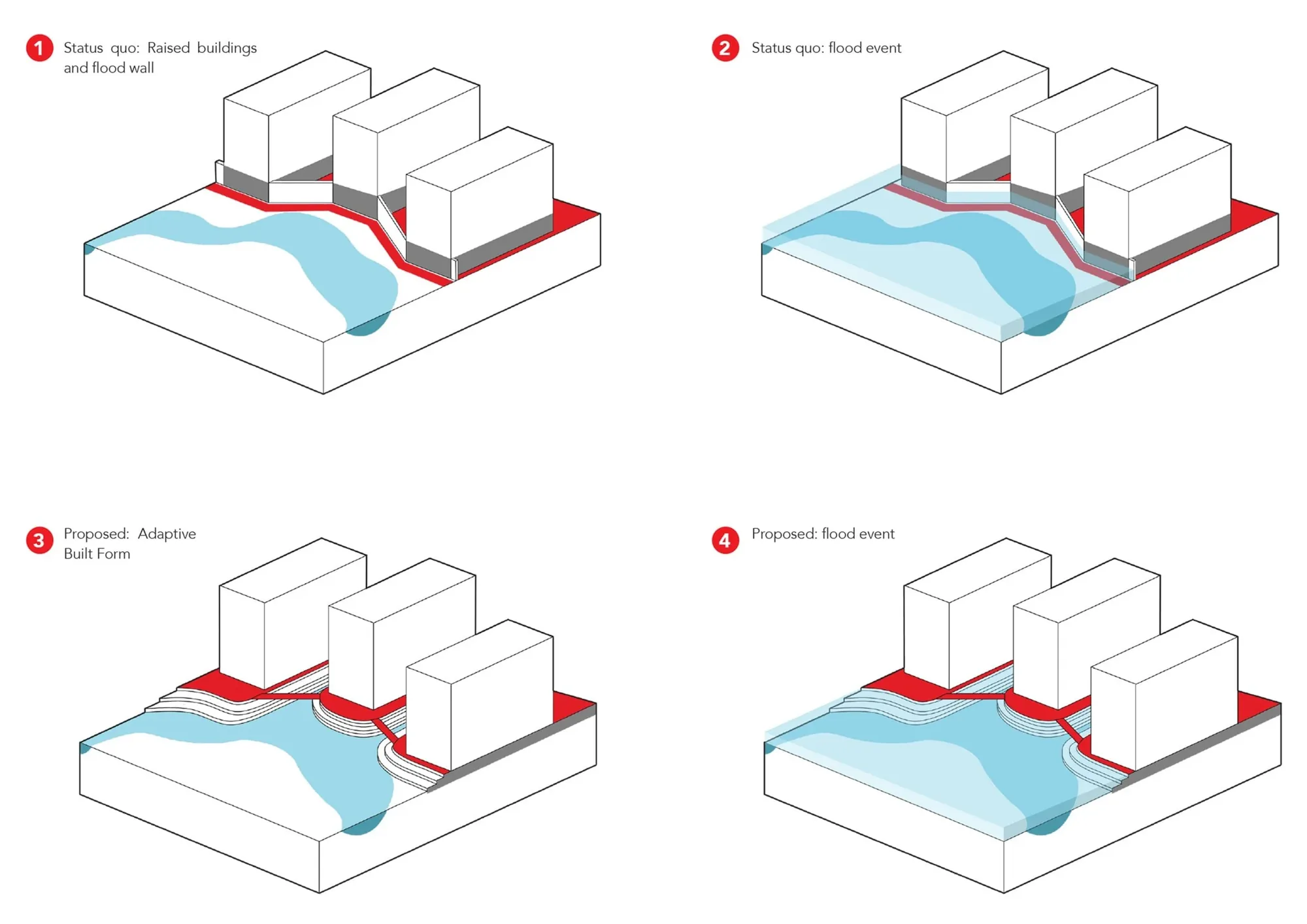
Maribyrnong Waterfront encompasses an area of urban renewal on the banks of the Maribyrnong River. Rezoned from commercial to mixed-use developable lots, the precinct offers the opportunity to re-imagine the areas climate resilient future. REALMstudios developed a series of holistically considered, and contextual scenarios which unlocked the potential of the land to support a growing community where built form and infrastructure engage with and express the impact of water and climate change.
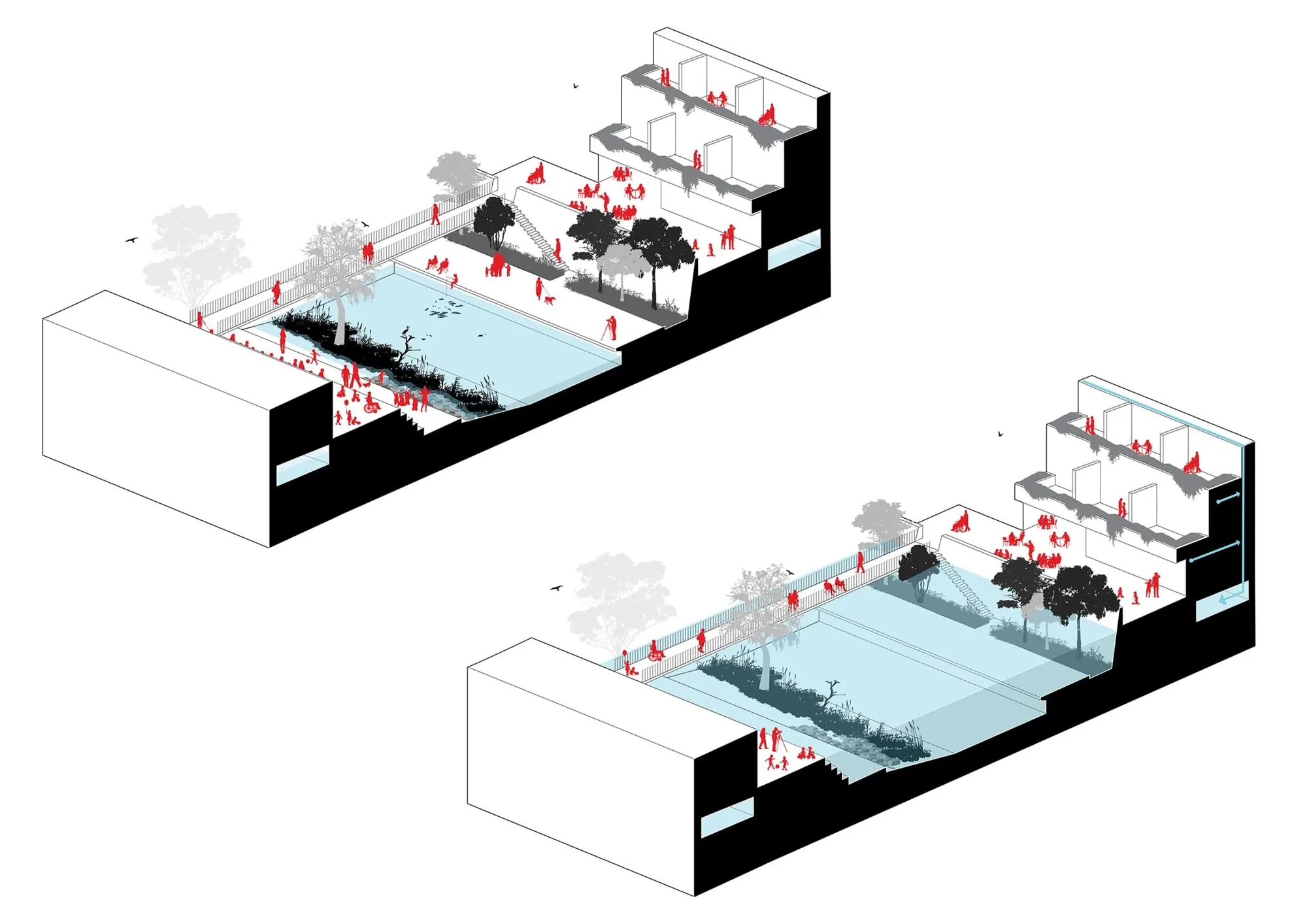
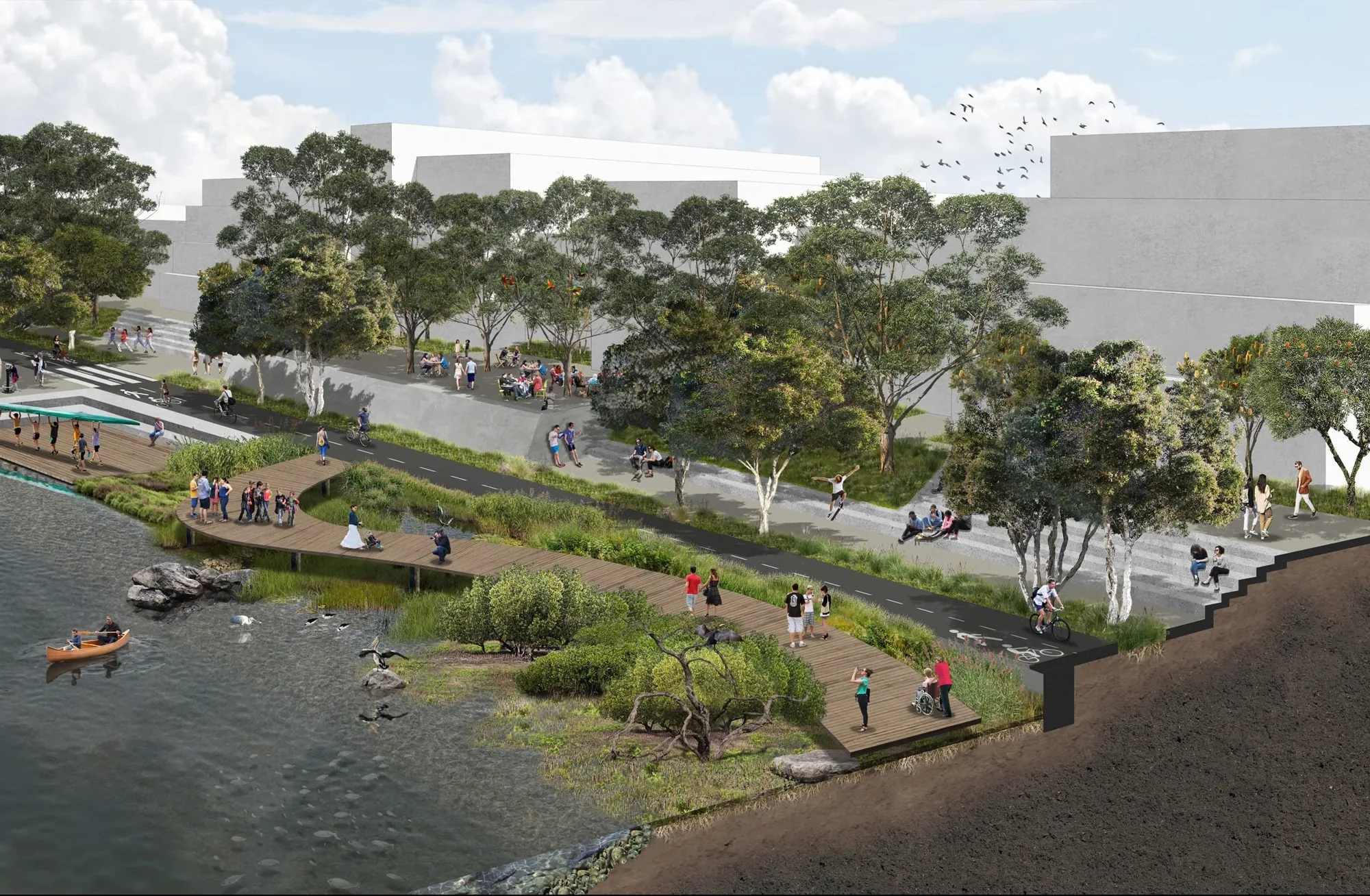
The strategy not only provides flood safety for users and inhabitants, but habitat for fragile and threatened estuarine ecologies, considered and connected movement networks, additional open space and amenities for diverse user groups.
The approach considers infrastructure beyond its base objective, adding co-benefit value to all aspects of the public realm. The proposed blue-green infrastructure considers all the disparate elements which collectively constitute an urban environment as mutually inclusive and of equal importance, integrating these elements into an outcome which serves the community and the natural environment in equal parts.
The discussion paper, prepared for the City of Melbourne, developed a multi-tiered approach of integrated outcomes, establishing a range of options that navigate and bring together flooding, ecological and social values: