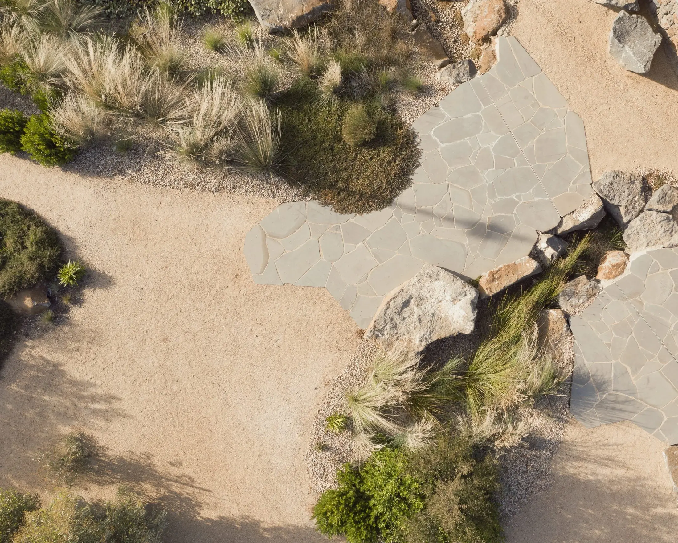
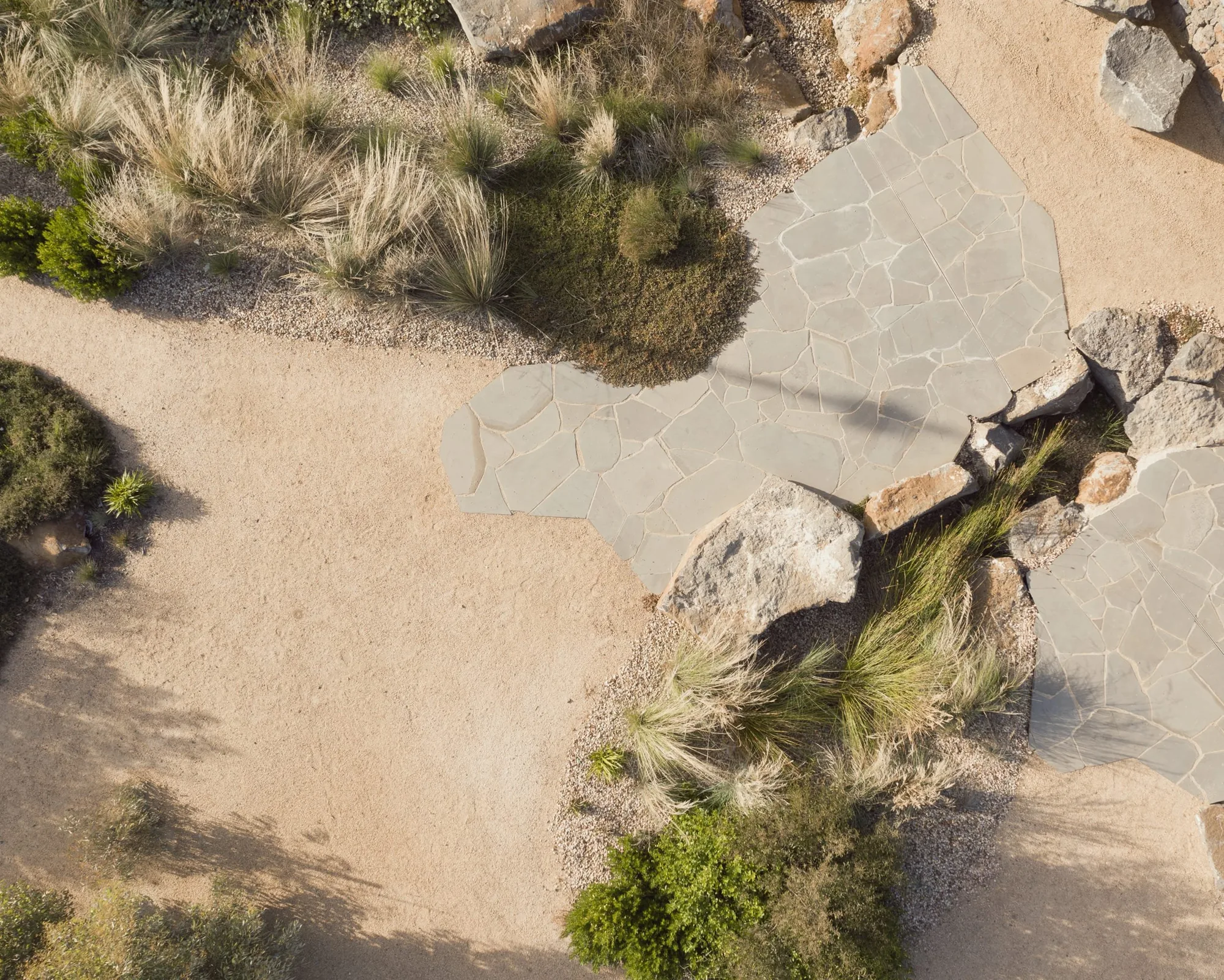
Aerial view of a REALMstudios landscape — crazy-paving, native planting and stone

Award winning work that sits at the intersection of people, systems and Country.

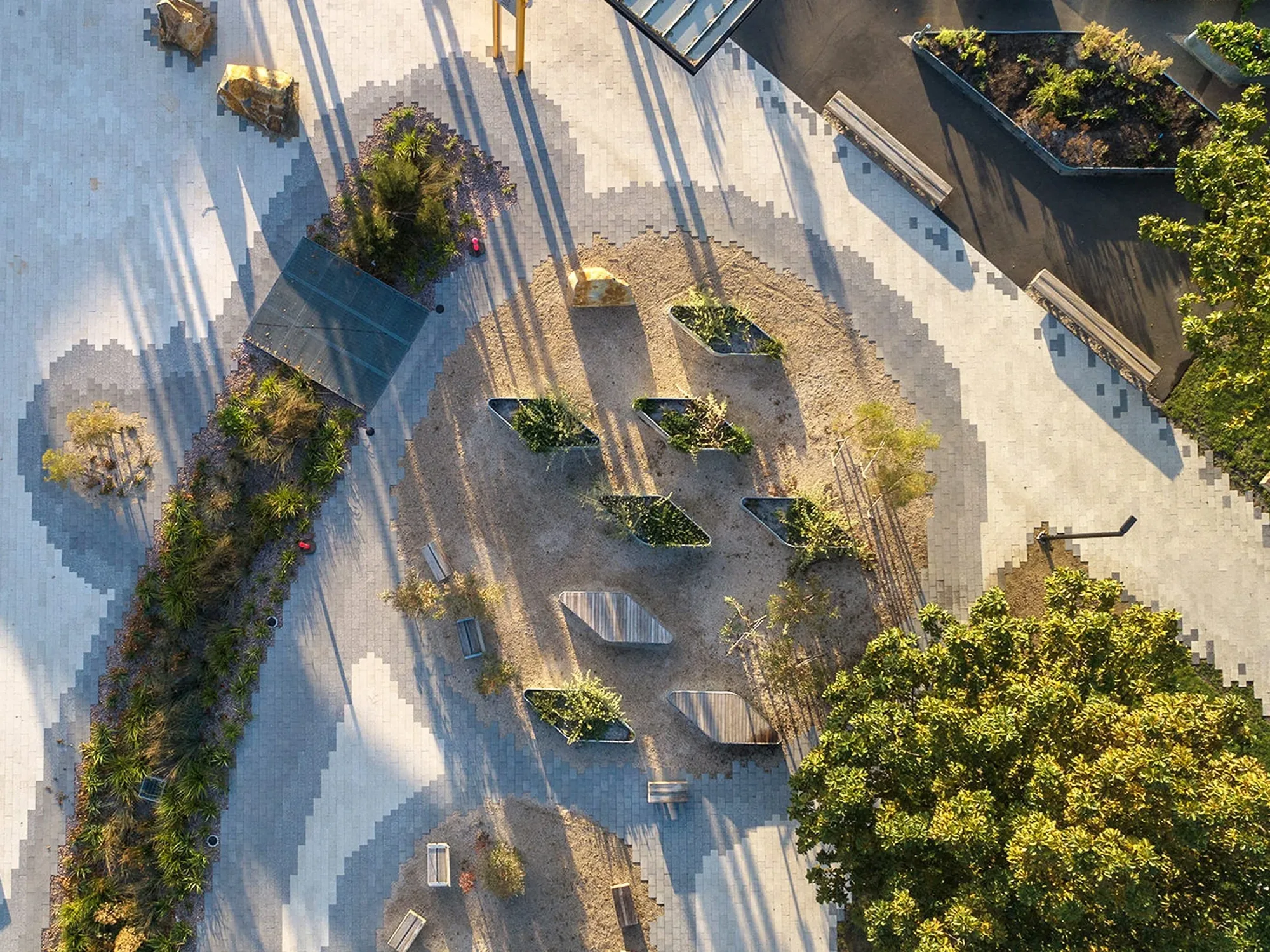
Aerial view of the Inveresk precinct community garden, with planted beds and pathways

UTAS Inveresk Urban Realm

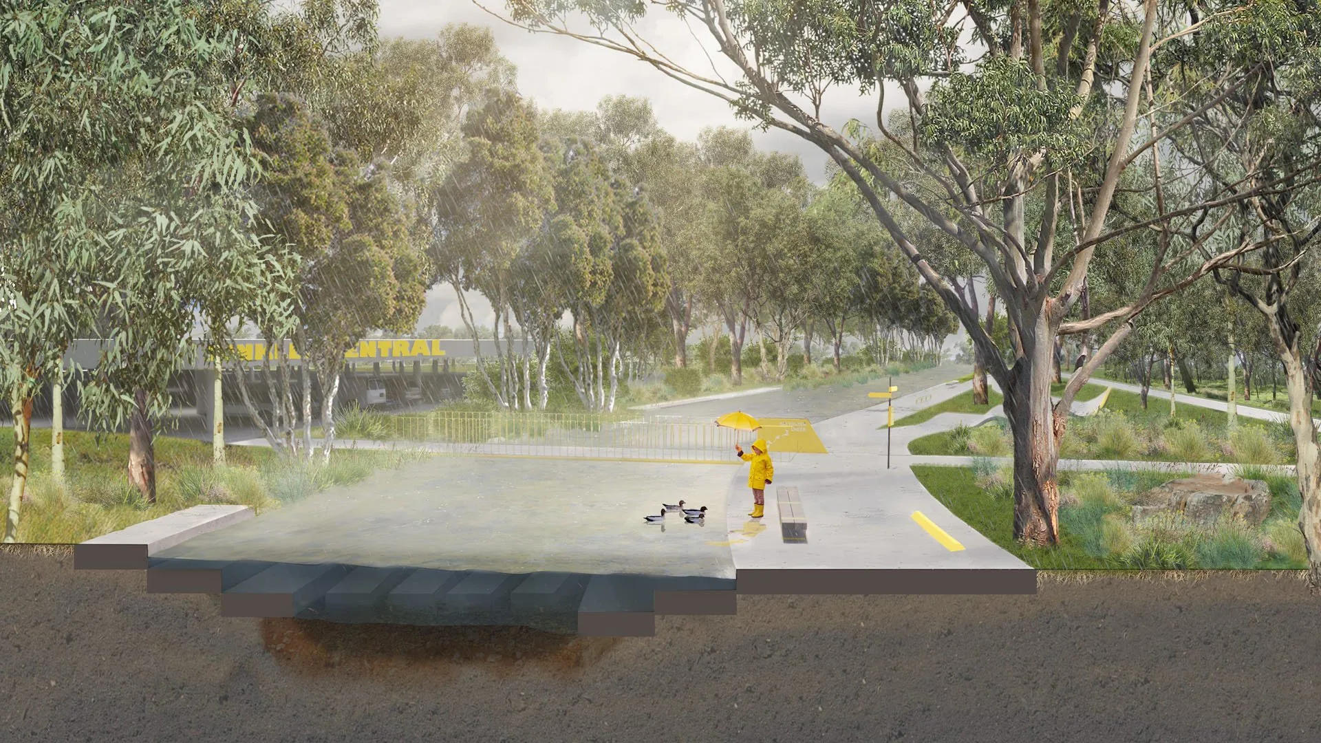
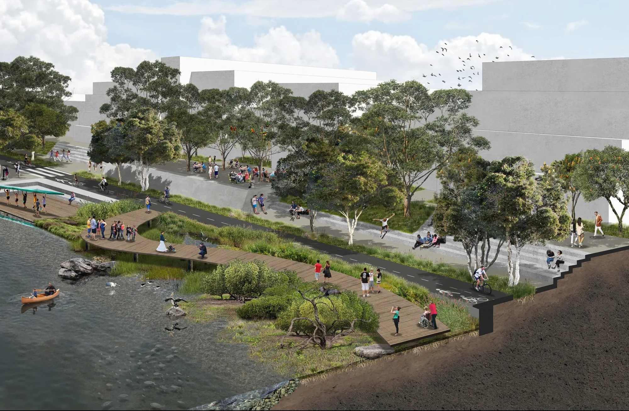
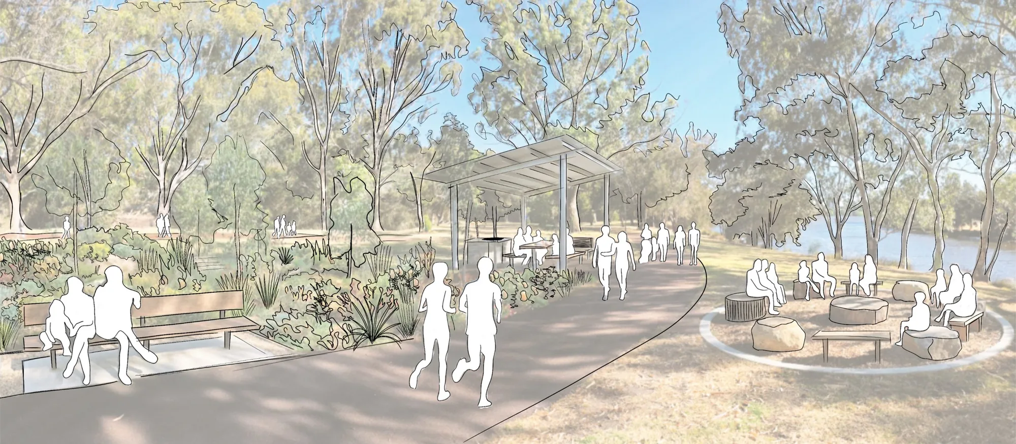
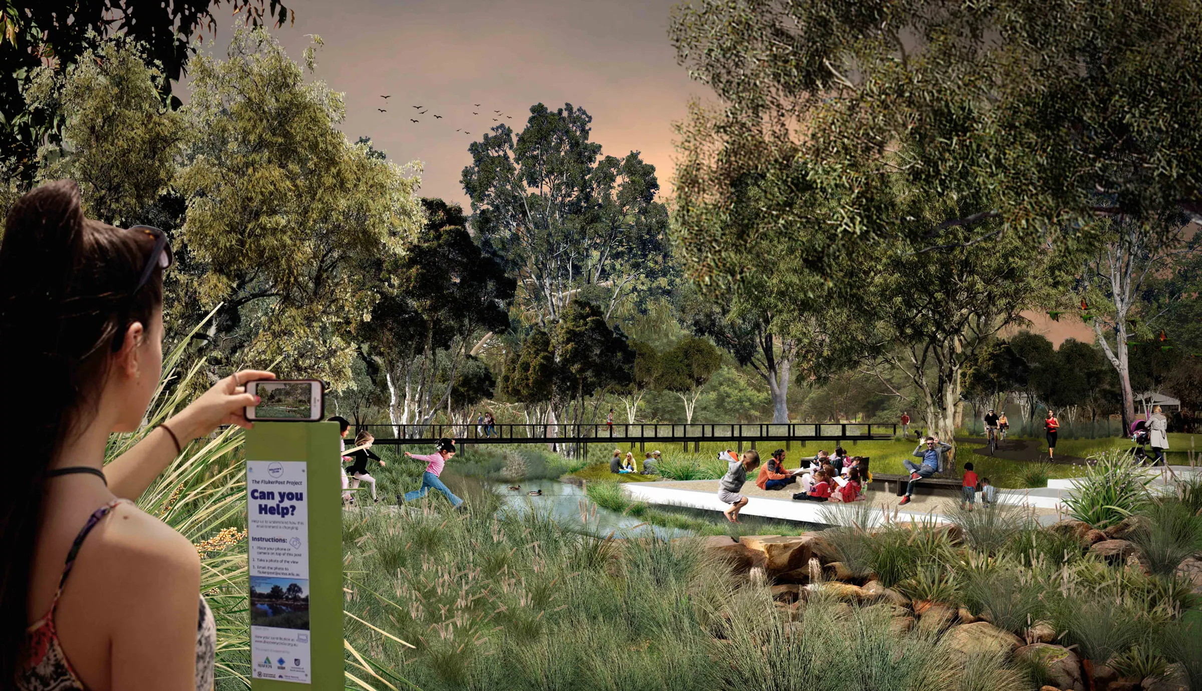
Render of the renaturalised Saltwater Creek — boardwalk, wetland planting and gathering spaces

Saltwater Creek Renaturalisation

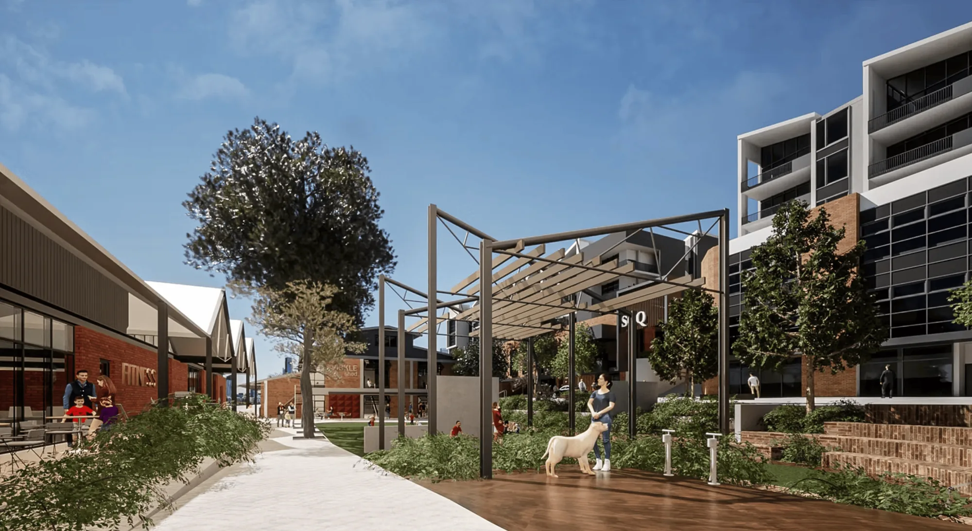
Render of the Sydney Charles Quarter urban renewal — shared-space street, pergola and planting

Sydney Charles Quarter Masterplan

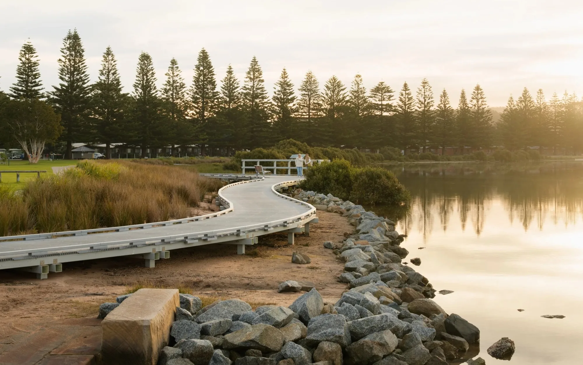
The Wagonga Inlet living foreshore boardwalk at dusk, Narooma

Wagonga Inlet Living Shoreline

A visitor on the patterned paving of the Exchange precinct at Curtin University, Bentley

Exchange Innovation Precinct

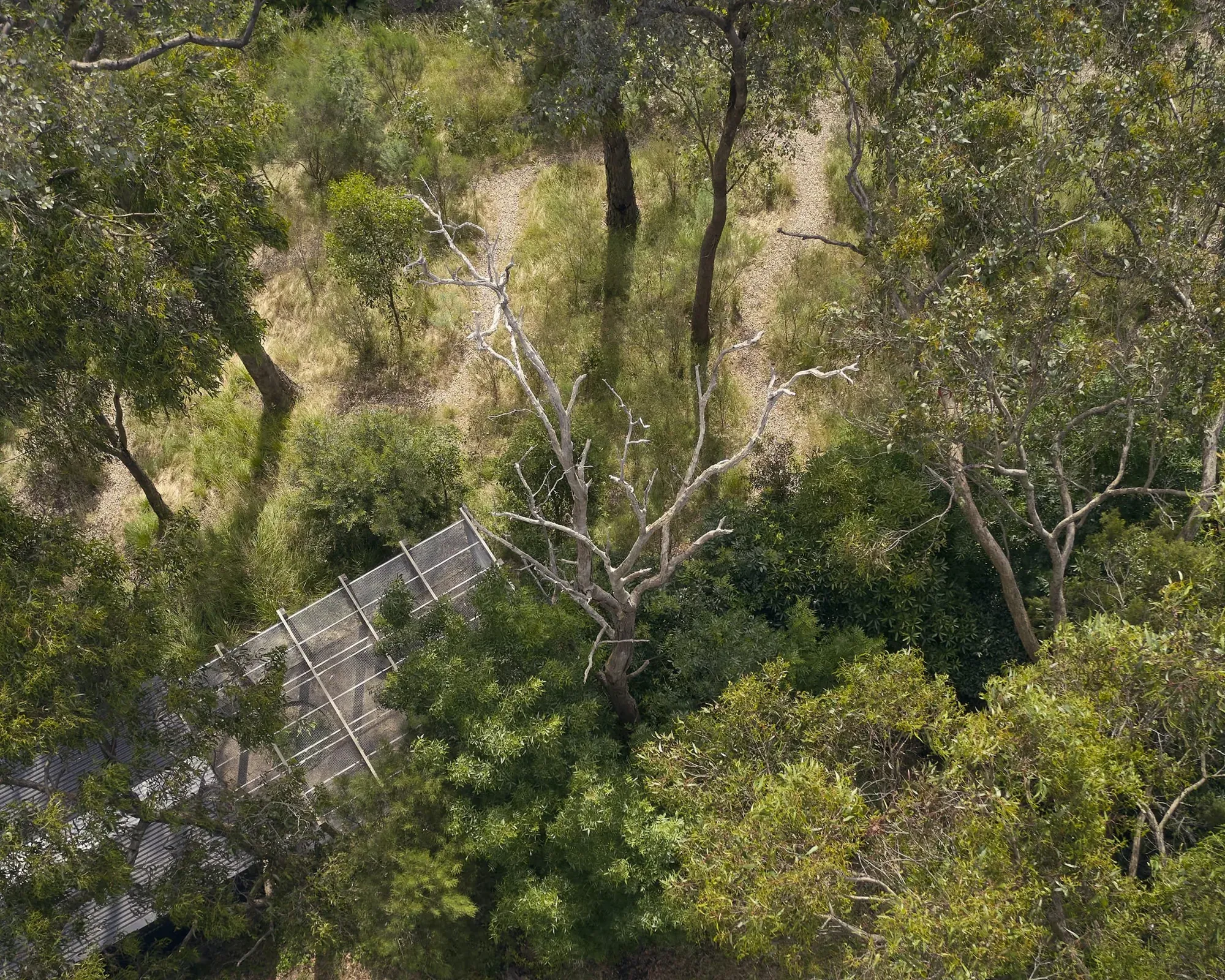
Aerial view of the Logan Avenue regenerative native garden on Wurundjeri Country

Logan Avenue

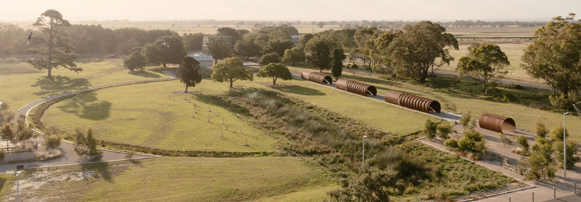
Aerial view of the Cocoroc site at Melbourne Water's Western Treatment Plant, Werribee

Cocoroc Western Treatment Plant

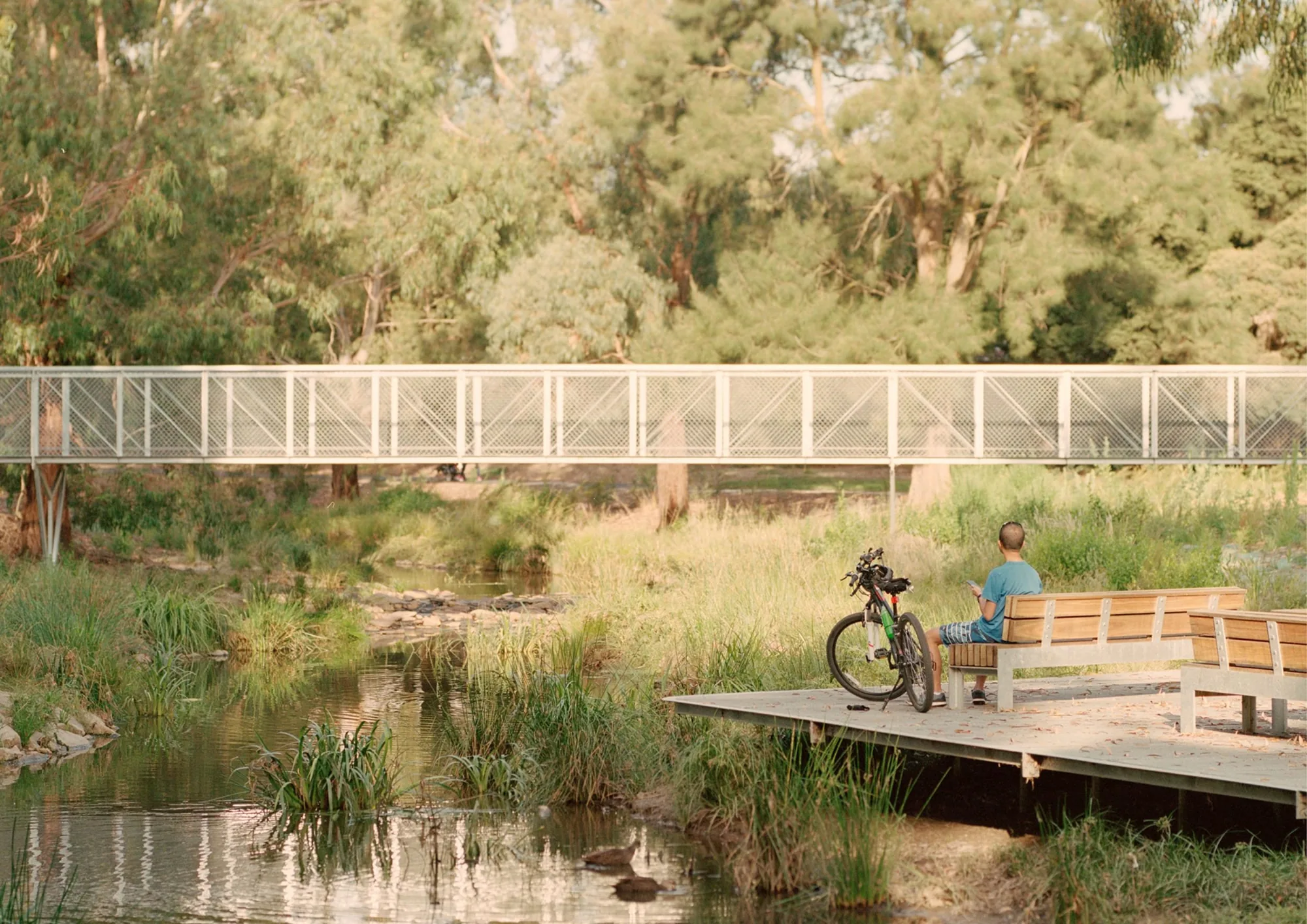
A naturalised creek with boardwalk and viewing platform, Melbourne

Reimagining Your Creek

The Wunggurrwil Dhurrung cultural landscape — crazy-paving paths through native grasses, Wyndham

Wunggurrwil Dhurrung

Aerial view of the proposed Maribyrnong River waterfront renewal, with riparian planting and public realm

Maribyrnong Waterfront

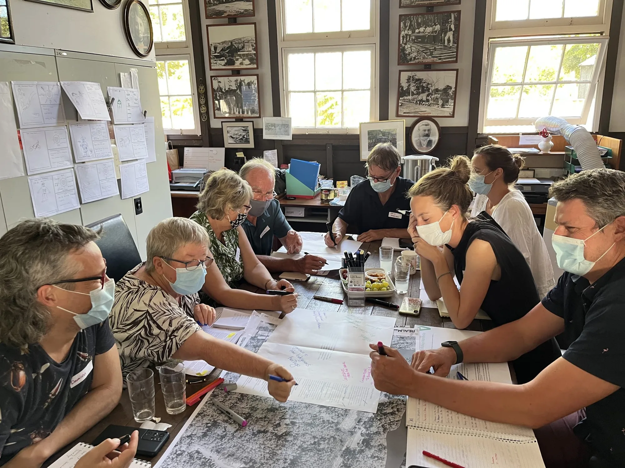
Community engagement workshop for the Wooditjup Bilya precinct, Margaret River

Wooditjup Bilya Precinct

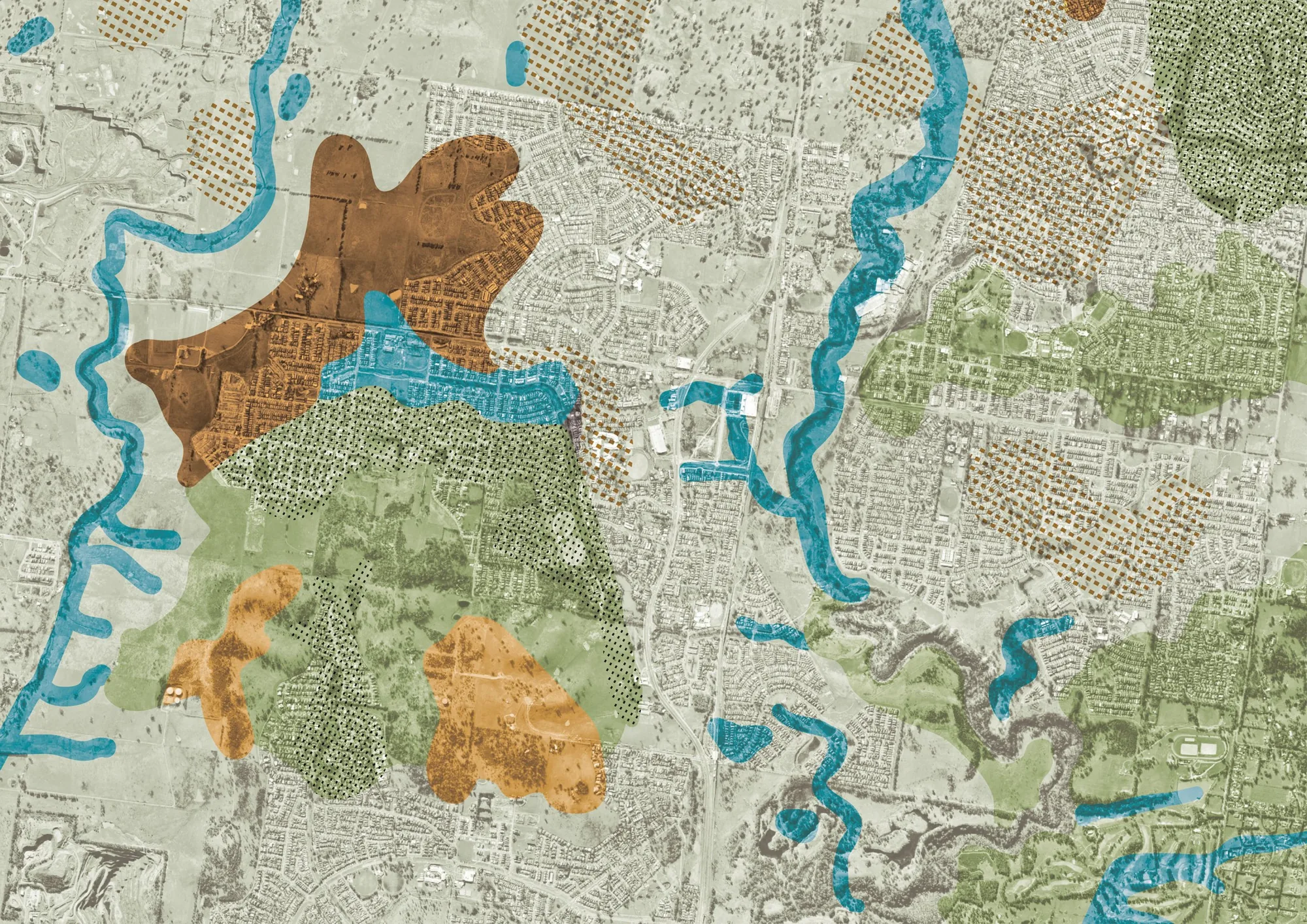
EVC vegetation overlay for the Aboriginal Gathering Place at Quarry Hills, South Morang

Aboriginal Gathering Place

Render of the Base Farm stream corridor near Western Sydney Airport

Base Farm

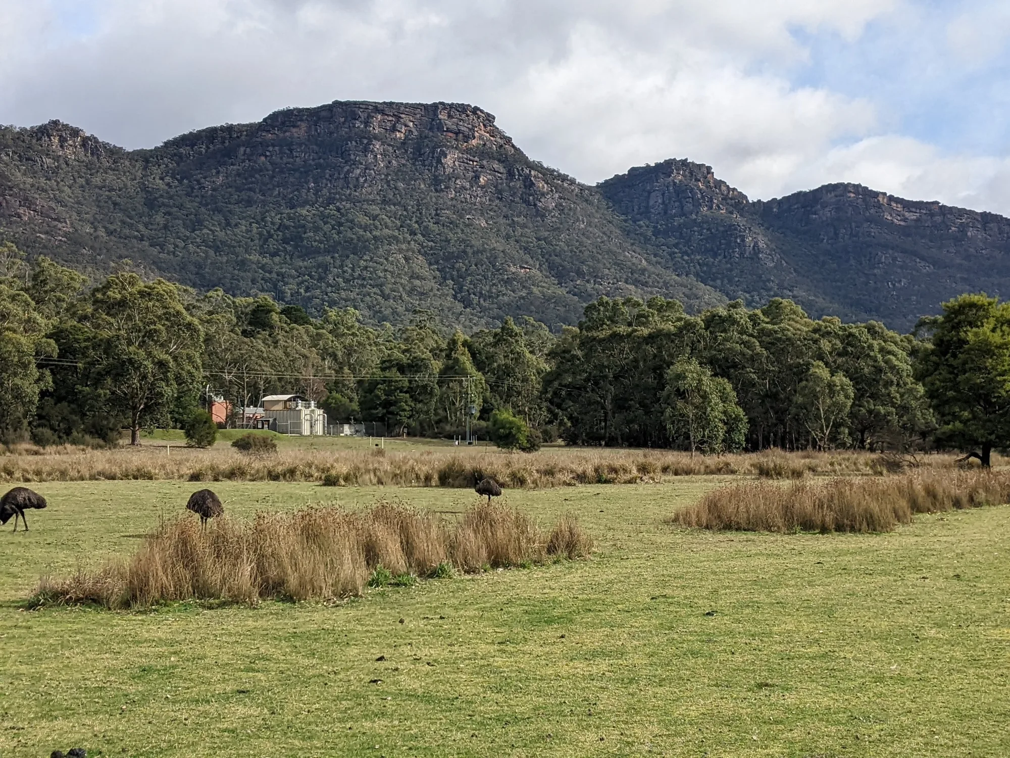
The Brambuk cultural centre in its Gariwerd (Grampians) landscape

Brambuk Gariwerd National Park

Render of the Belmont Trust Land public realm, Ascot

Belmont Land Trust

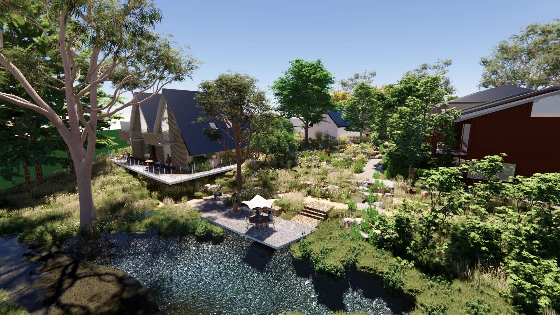
Render of the Brougham Street co-housing community beside Diamond Creek

Brougham Street Eltham

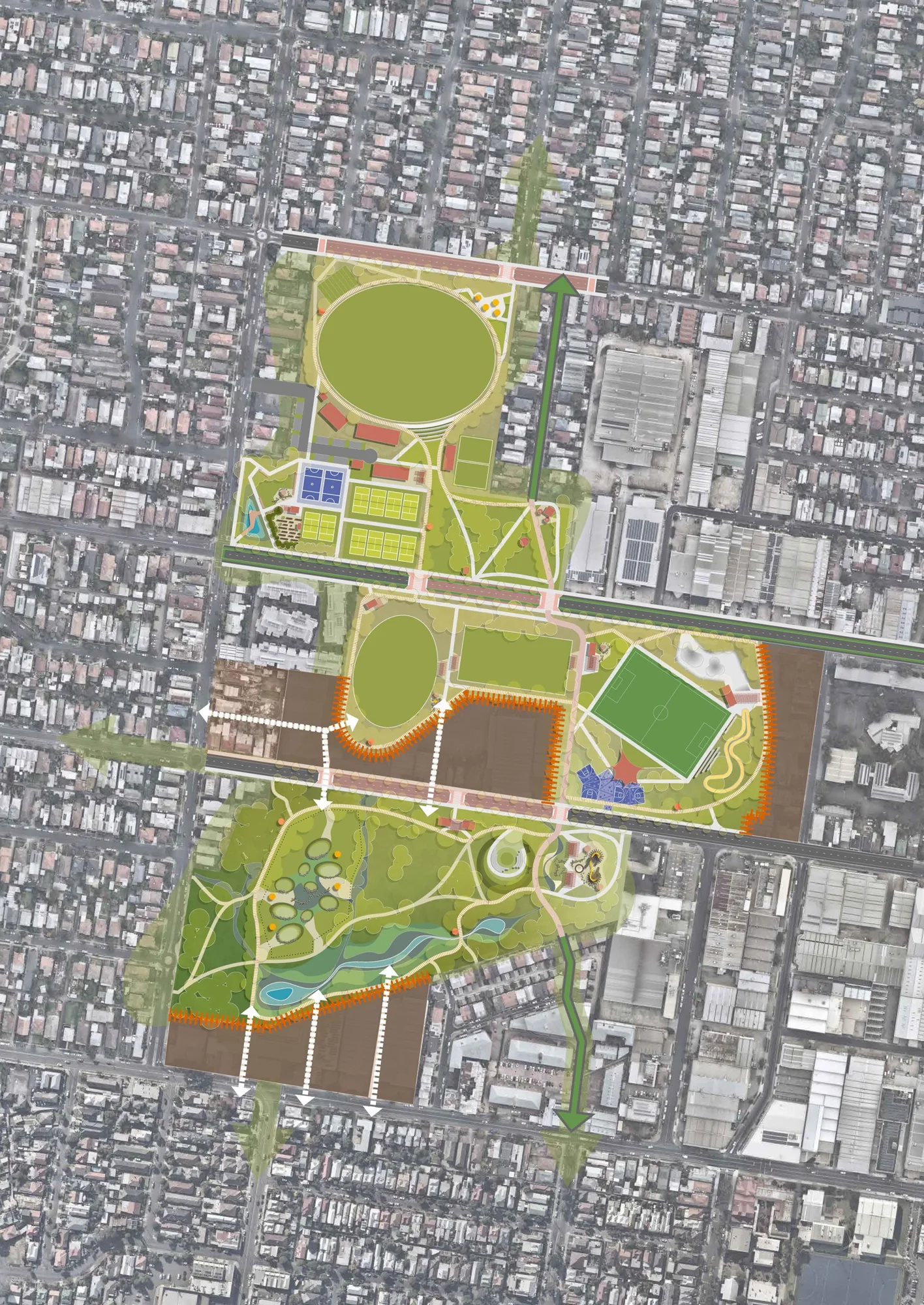
Aerial masterplan for the Brunswick Central Parklands, Brunswick

Brunswick Parklands

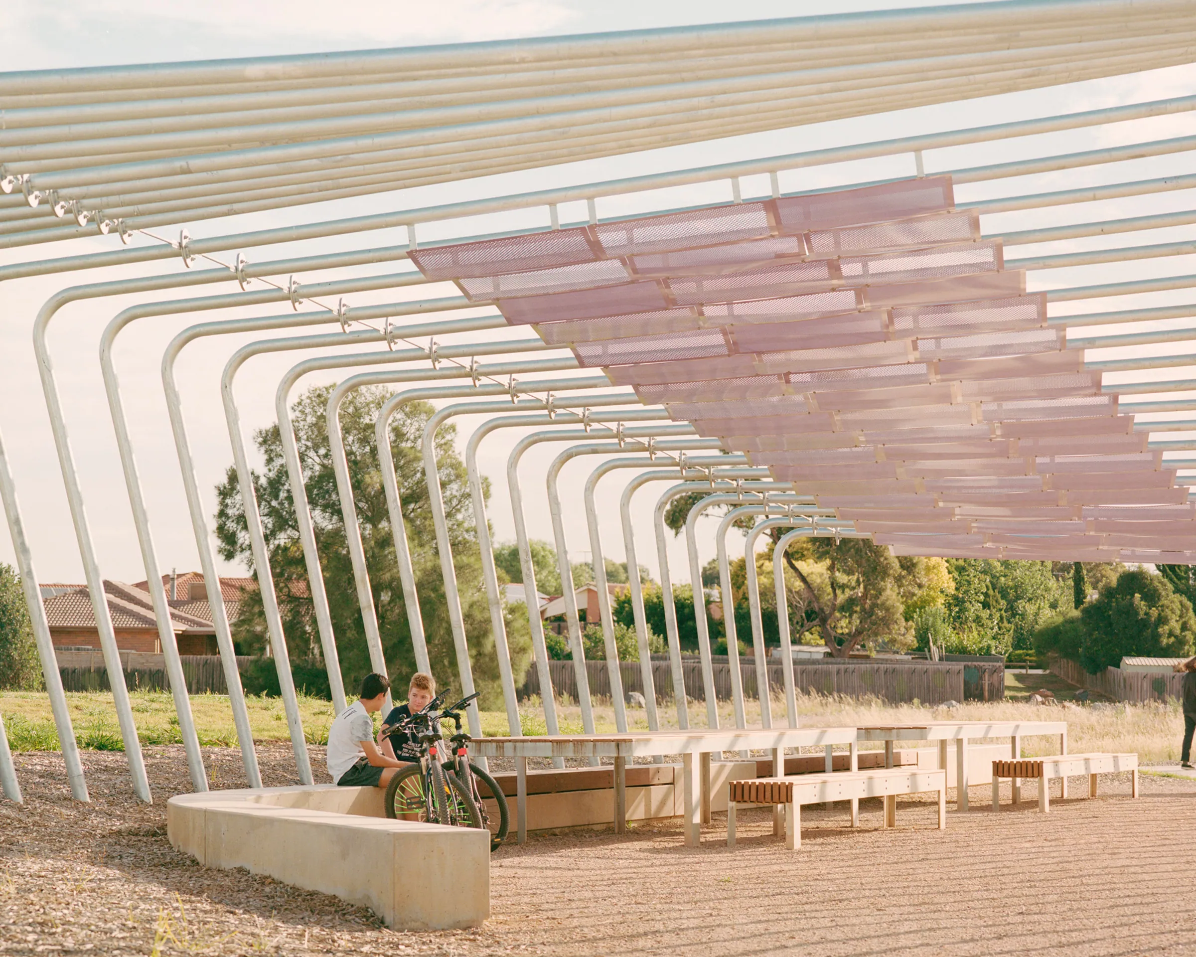
People resting on a curved bench beneath the steel-arched shade structure with pink slats at Arnolds Creek, Melton

Arnolds Creek

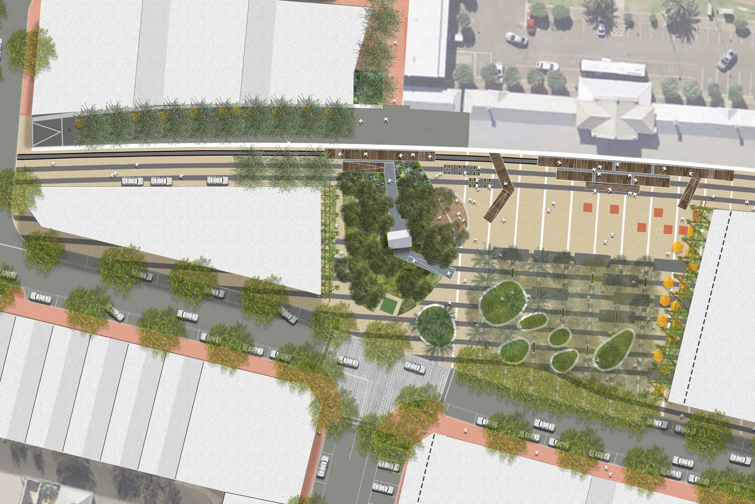
Rendered plan of Batavia Coast Marina Stage Two showing the station plaza and urban forest by the rail line
Batavia Coast Marina Stage Two

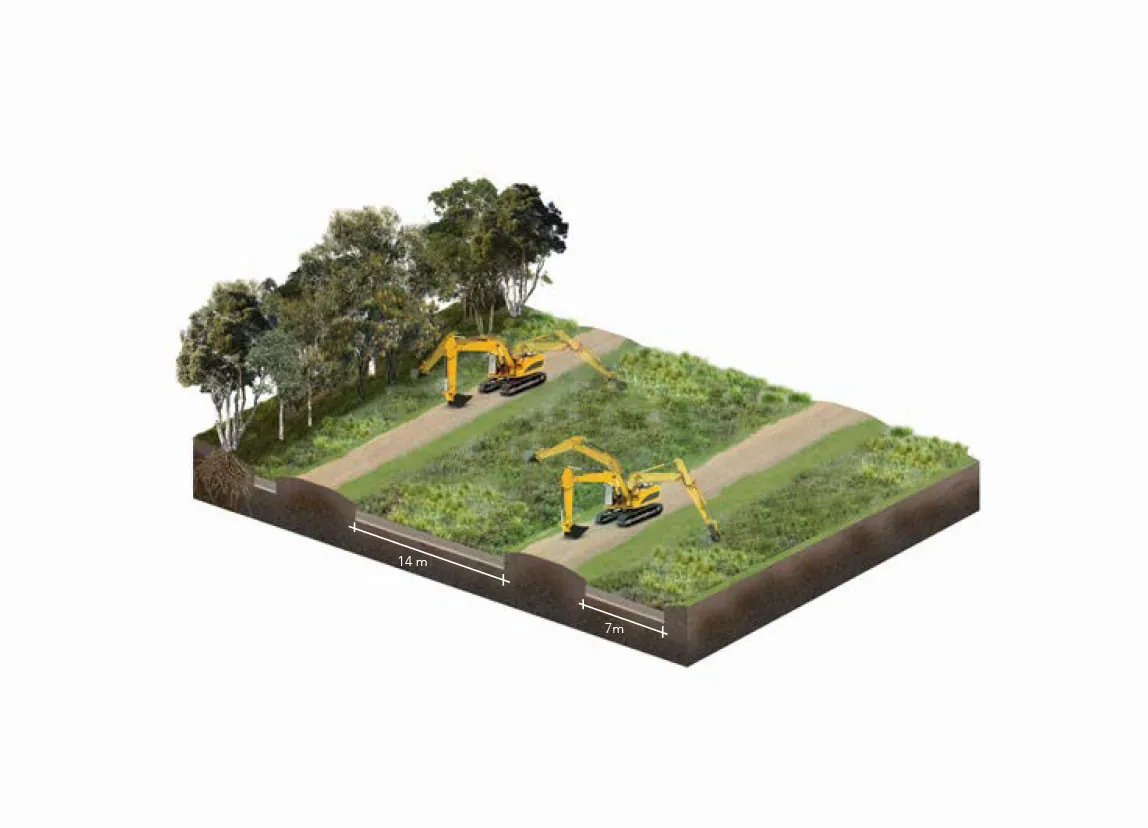
Diagram of excavators reshaping a vegetated bioretention basin with access tracks and width dimensions marked

Bioretention System

Dusk rendering of people gathering on a creek-side platform at Blind Creek, with a signboard in the foreground

Blind Creek

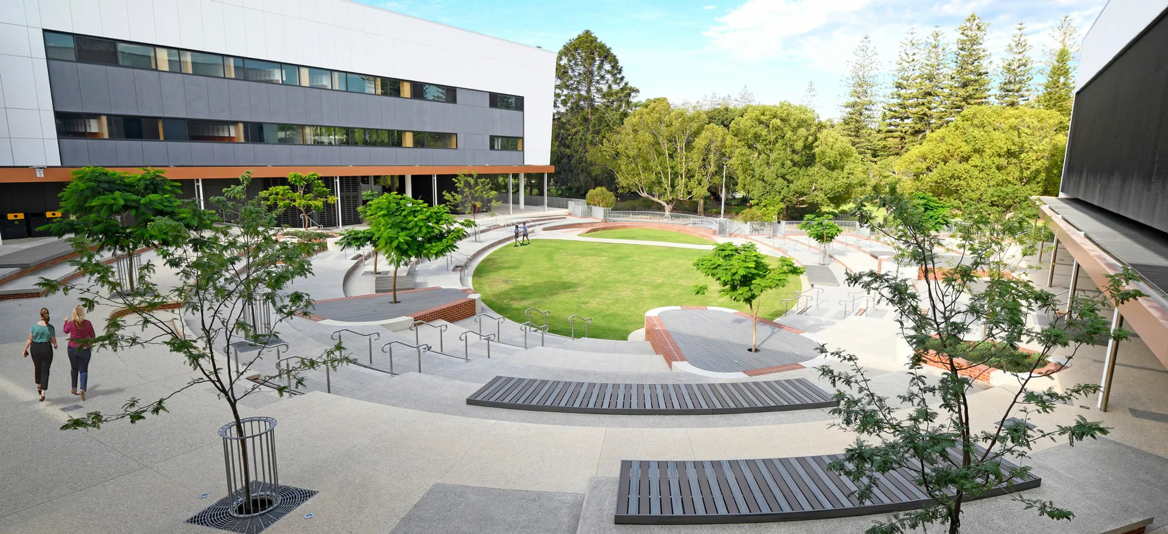
Bob Hawke College oval courtyard in Subiaco with a central lawn, curved terraces and timber benches

Bob Hawke College

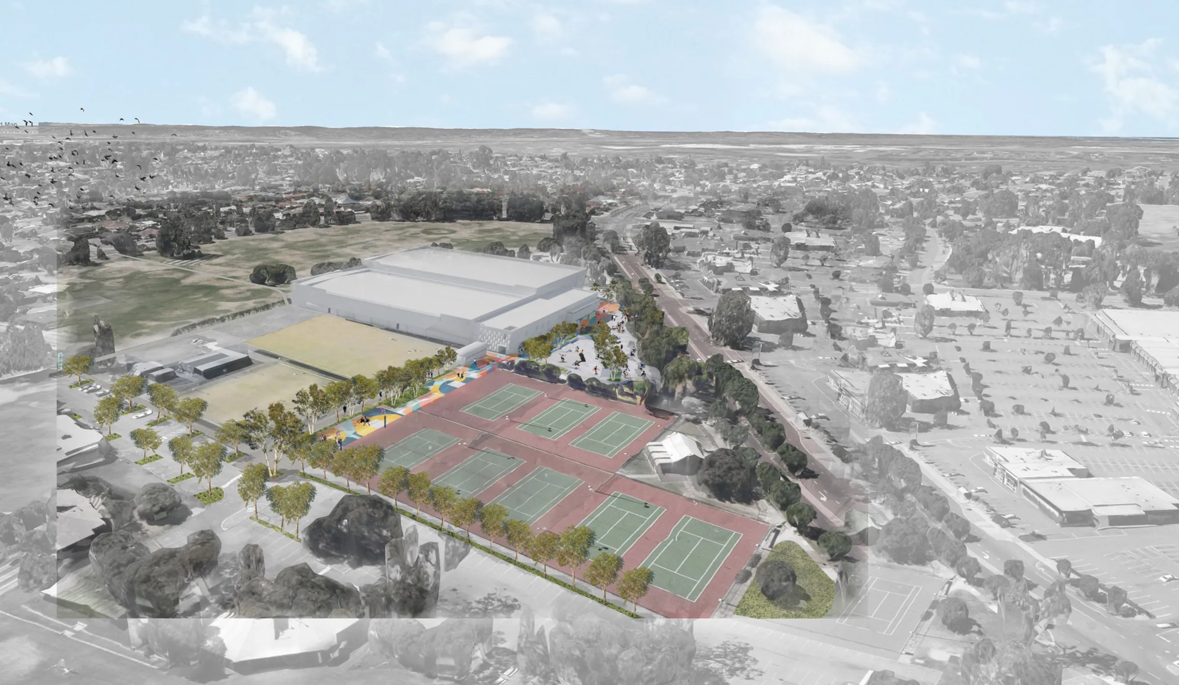
Aerial perspective of the Burrendah Park masterplan in Willetton with tennis courts, sports halls and tree-lined edges

Burrendah Park Landscape Masterplan

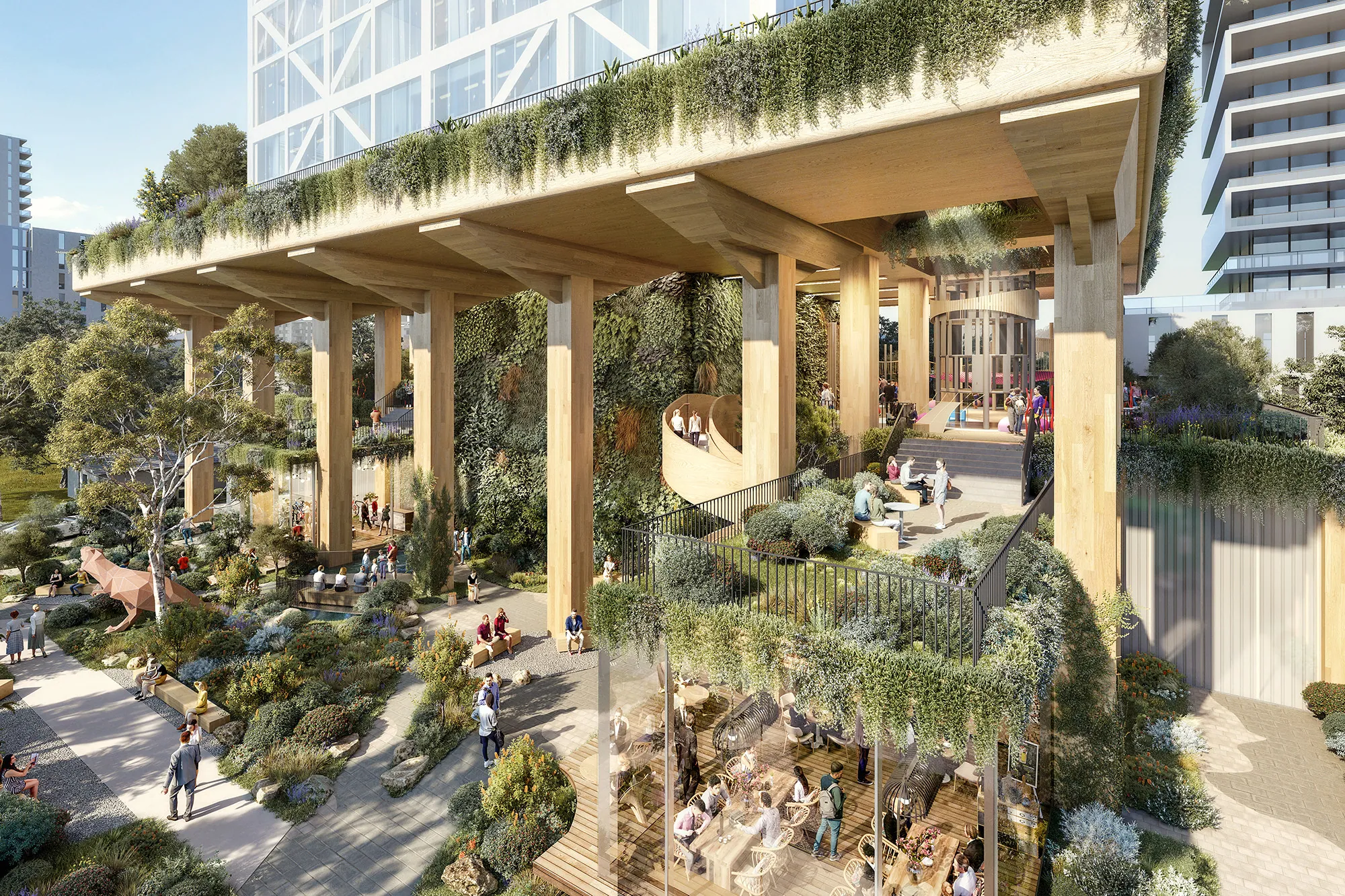
Rendering of the C6 Apartments' publicly accessible garden and dining spaces beneath timber columns and planted terraces

C6 Apartments

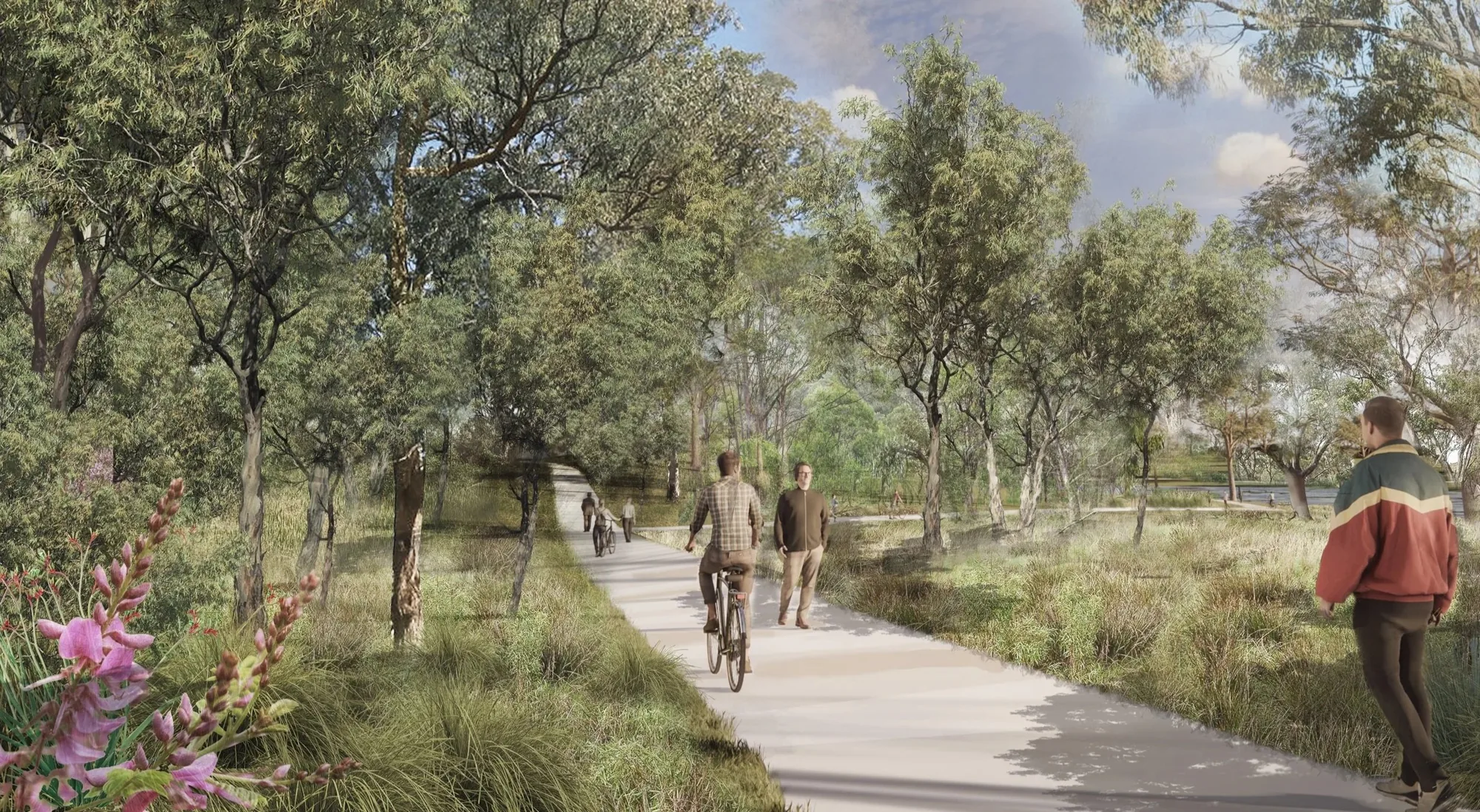
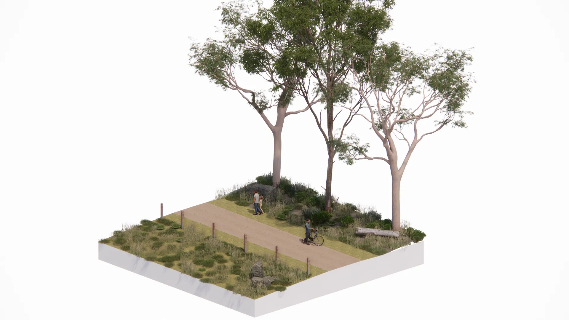
Rendering of a gravel trail through Cardinia Creek bushland with a cyclist passing under tall eucalypts

Cardinia Creek Regional Parklands

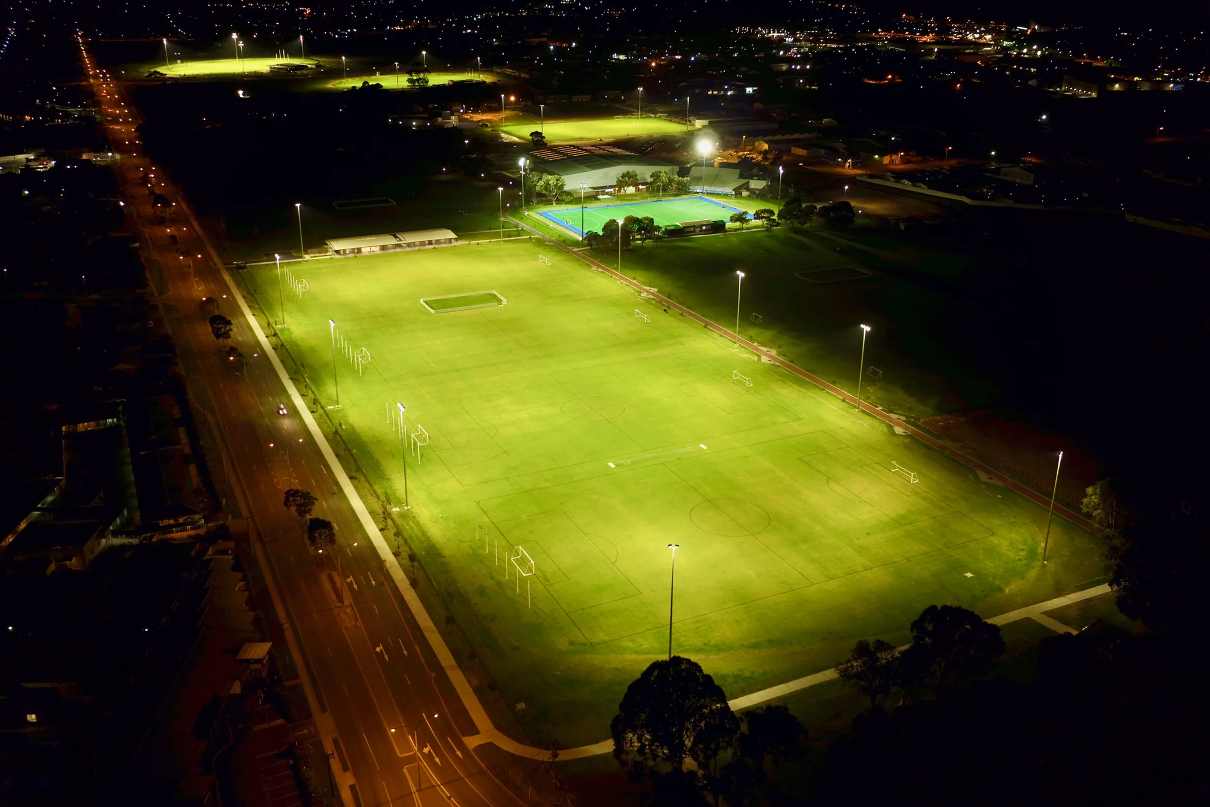
Night aerial photograph of Centennial Park in Albany with floodlit playing fields beside a main road

Centennial Park

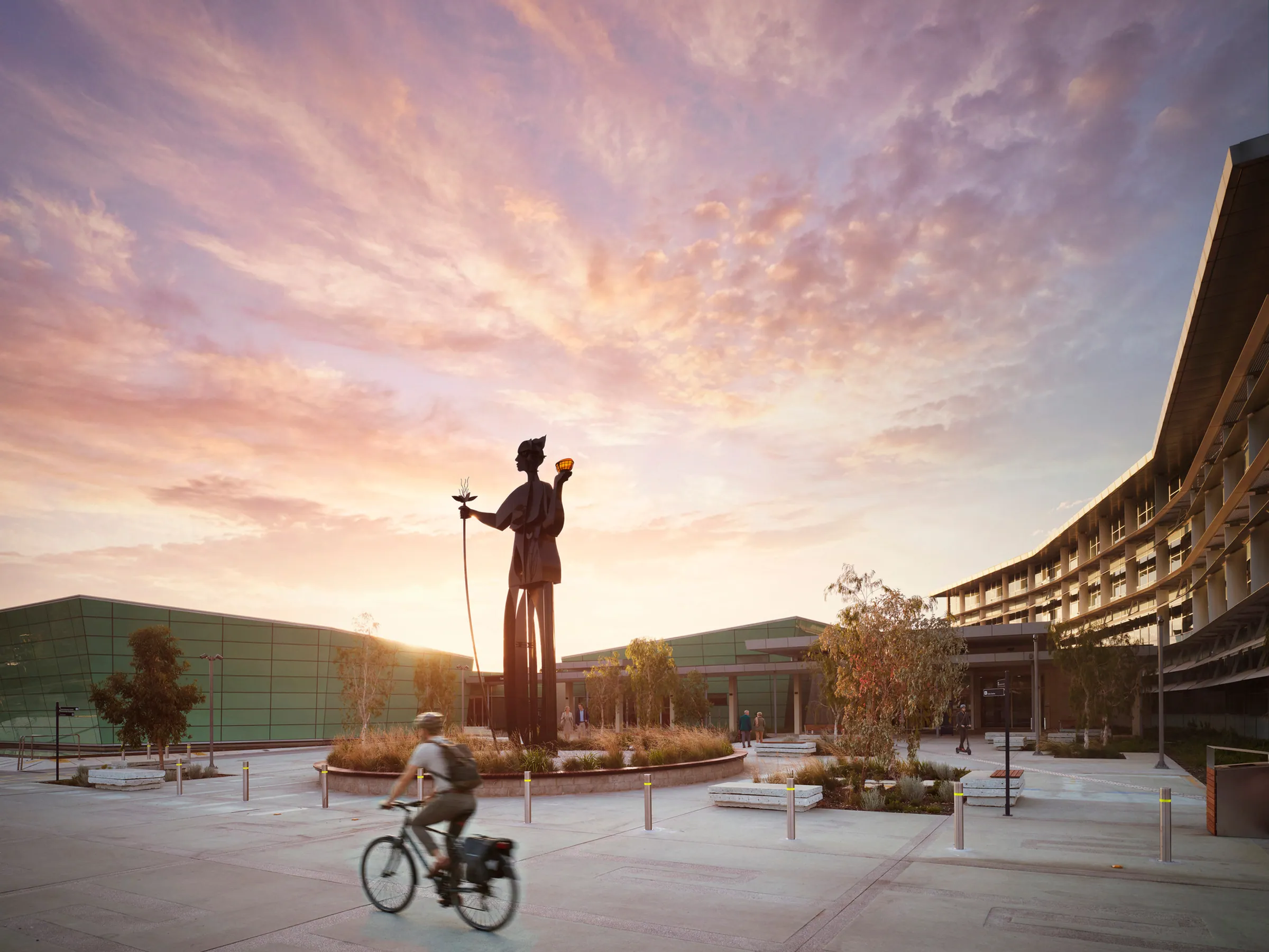
Cyclist passing the City of Stirling Administration Building forecourt and its tall sculpture at sunset

City of Stirling Administration Building Forecourt

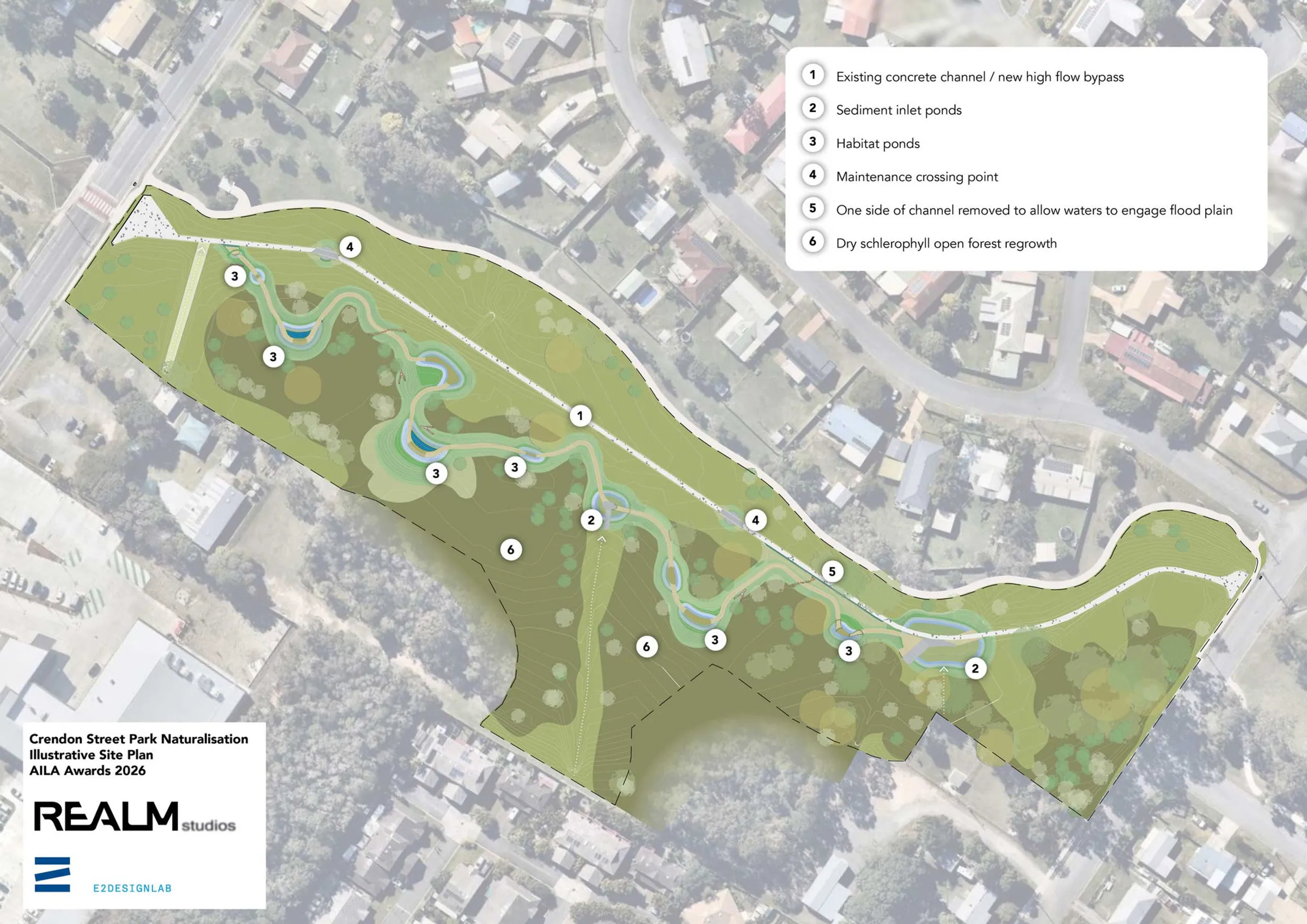
Illustrative site plan of Crendon Street Park showing sediment ponds, habitat ponds and crossing points

Crendon Street Park Naturalisation

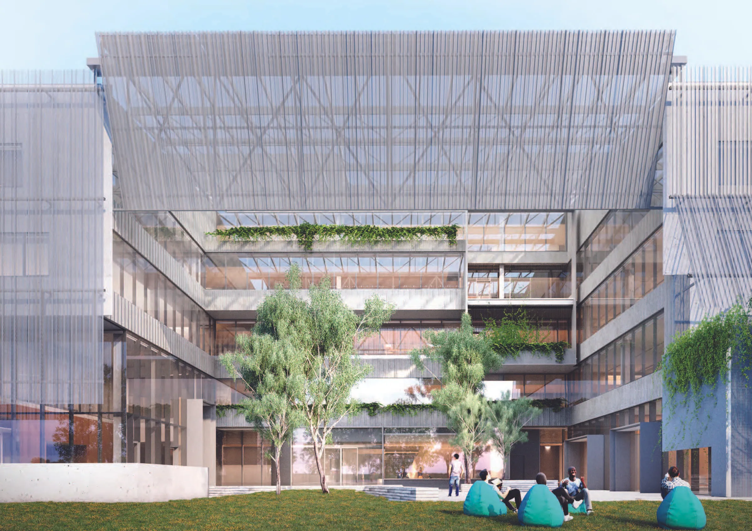
Rendering of the Curtin University School of Design and Built Environment courtyard with trees, lawn and beanbag seating

Curtin University School of Design & Built Environment

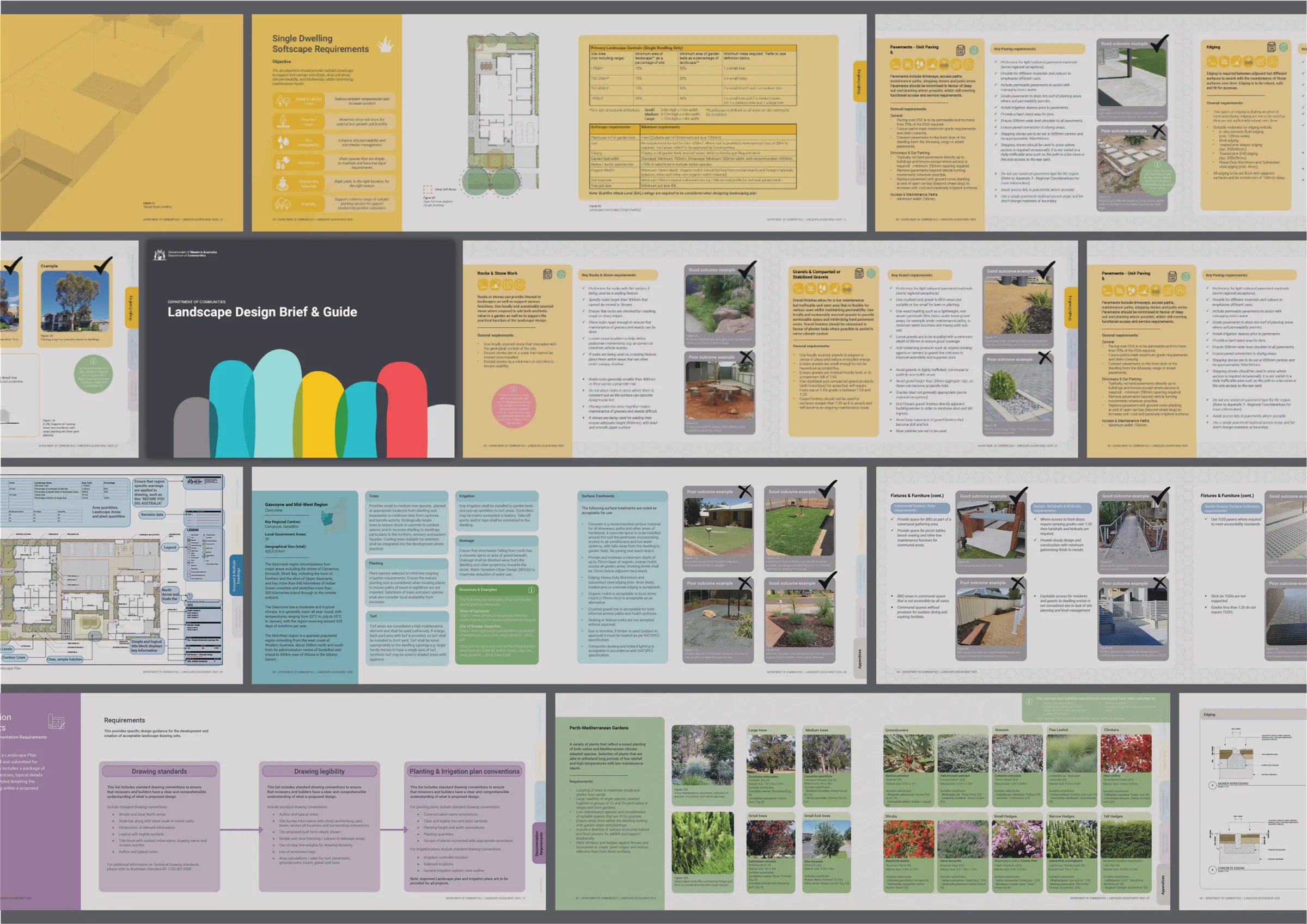
Spread of page layouts from the Department of Communities Landscape Design Brief and Guide, with planting palettes and checklists

Department of Communities: Landscape Design Brief and Guide

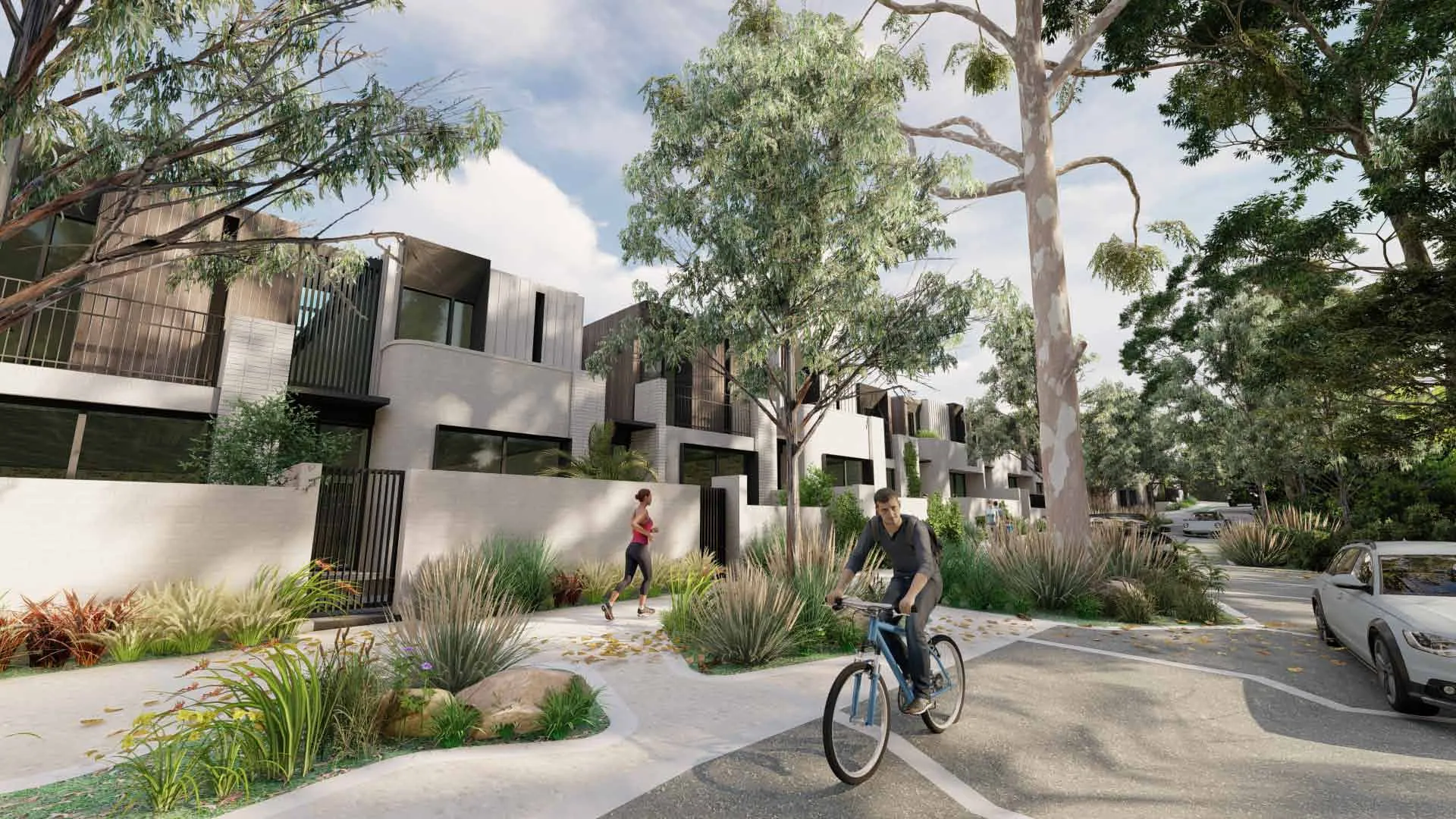
Rendering of an East Victoria Park street with a cyclist and runner passing native planting in front of townhouses

East Victoria Park

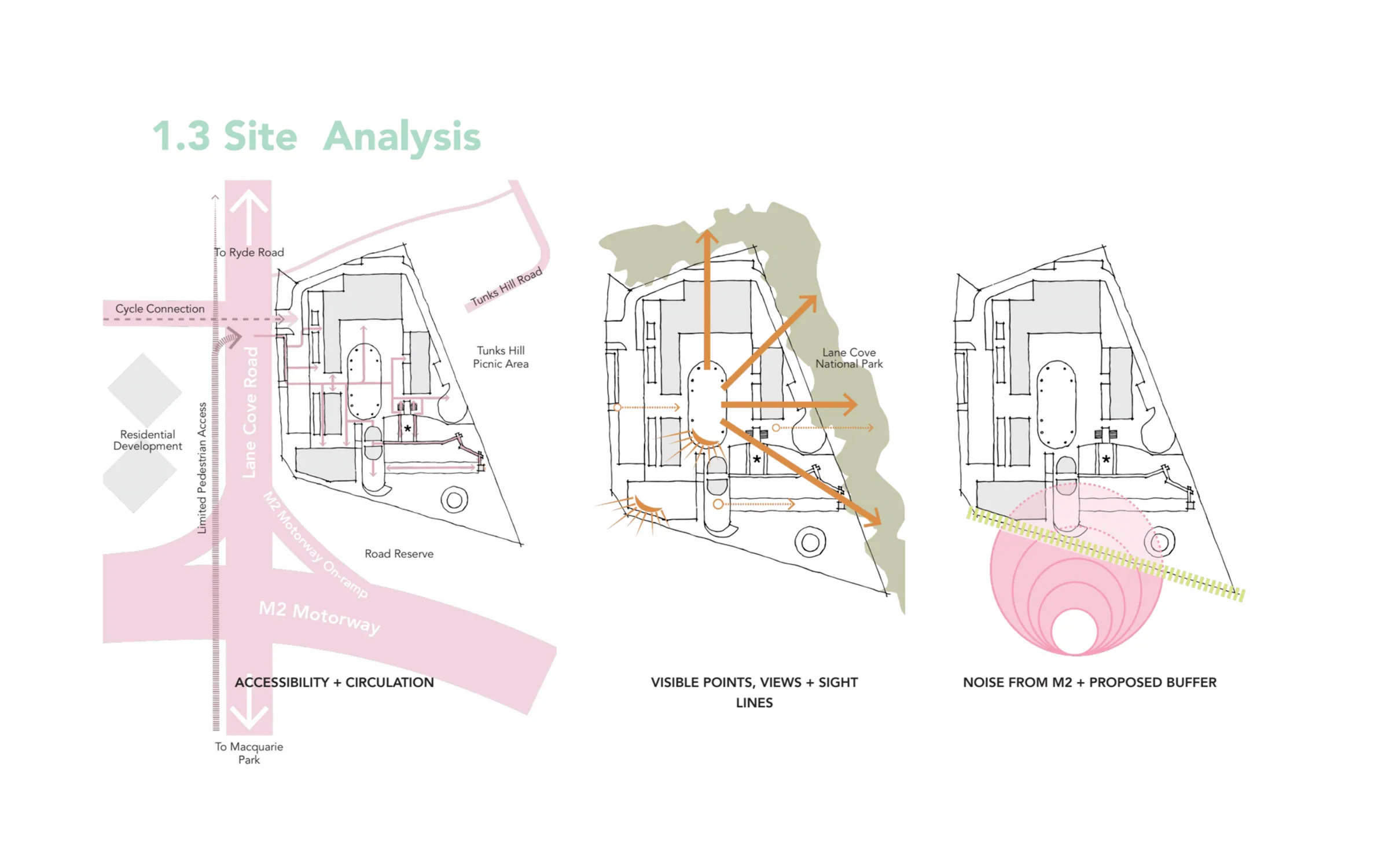
Site analysis diagrams for Eden Gardens, Macquarie Park, showing access and circulation, views and M2 motorway noise

Eden Gardens

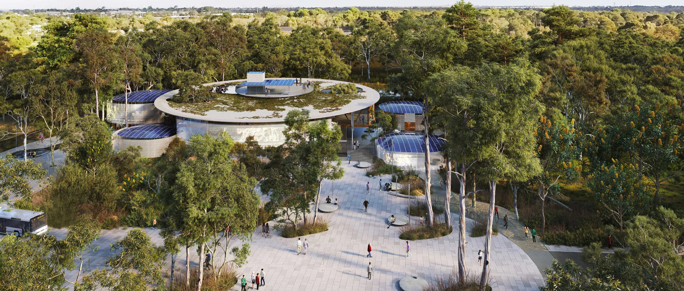
Aerial rendering of the Environmental Research Institute with circular buildings and courtyards set within Banksia Woodland

Environmental Research Institute

Rendering of a landscaped civic plaza with seating, planting and sculptural stones in Glenorchy CBD

Glenorchy Civic Centre

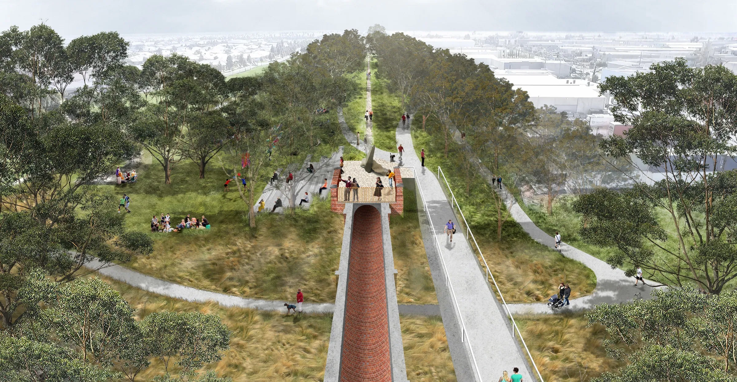
Aerial rendering of Greening the Pipeline in Melbourne with paths and trees lining the heritage sewer reserve

Greening the Pipeline

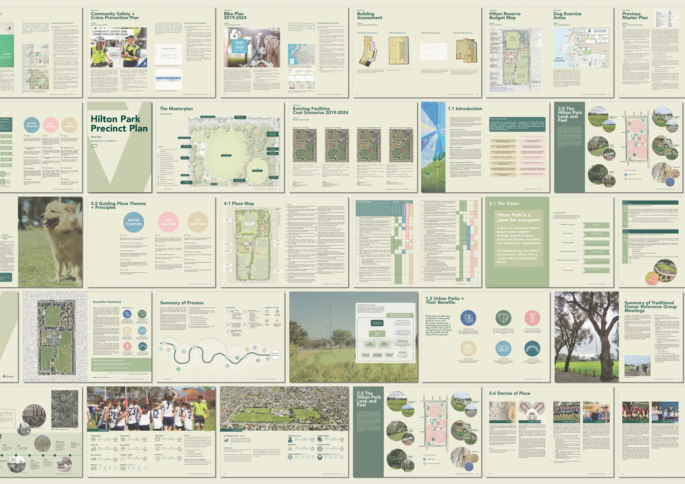
Spread of pages from the Hilton Park Precinct Plan report showing masterplan drawings, diagrams and photos

Hilton Park Precinct

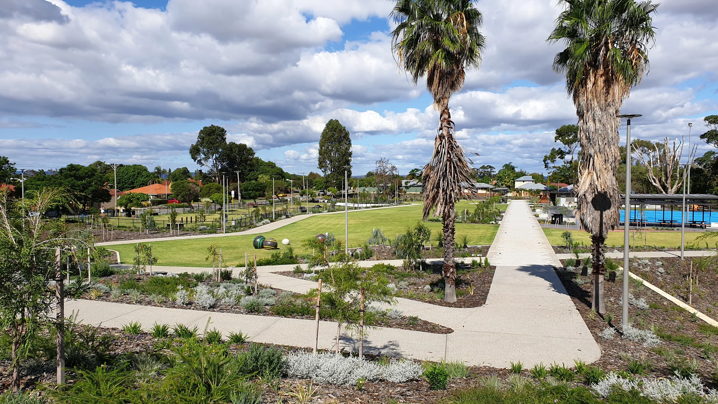
Landscaped paths, grey-leaved native planting and tall palms leading across the Lathlain Precinct Community Parkland

Lathlain Precinct Community Parkland

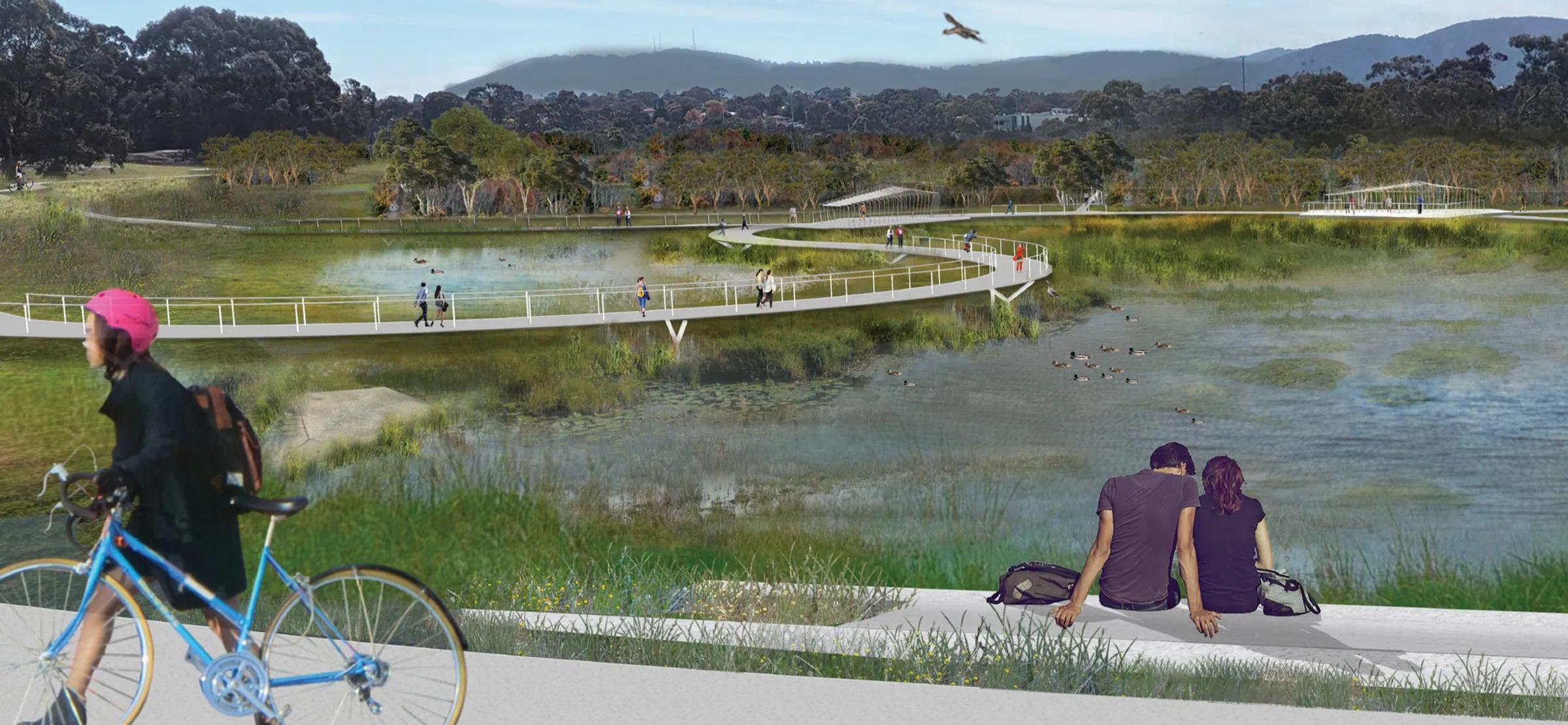
Rendering of Lewis Park's restored wetlands with a curving boardwalk, a cyclist and a couple seated at the water's edge

Lewis Park

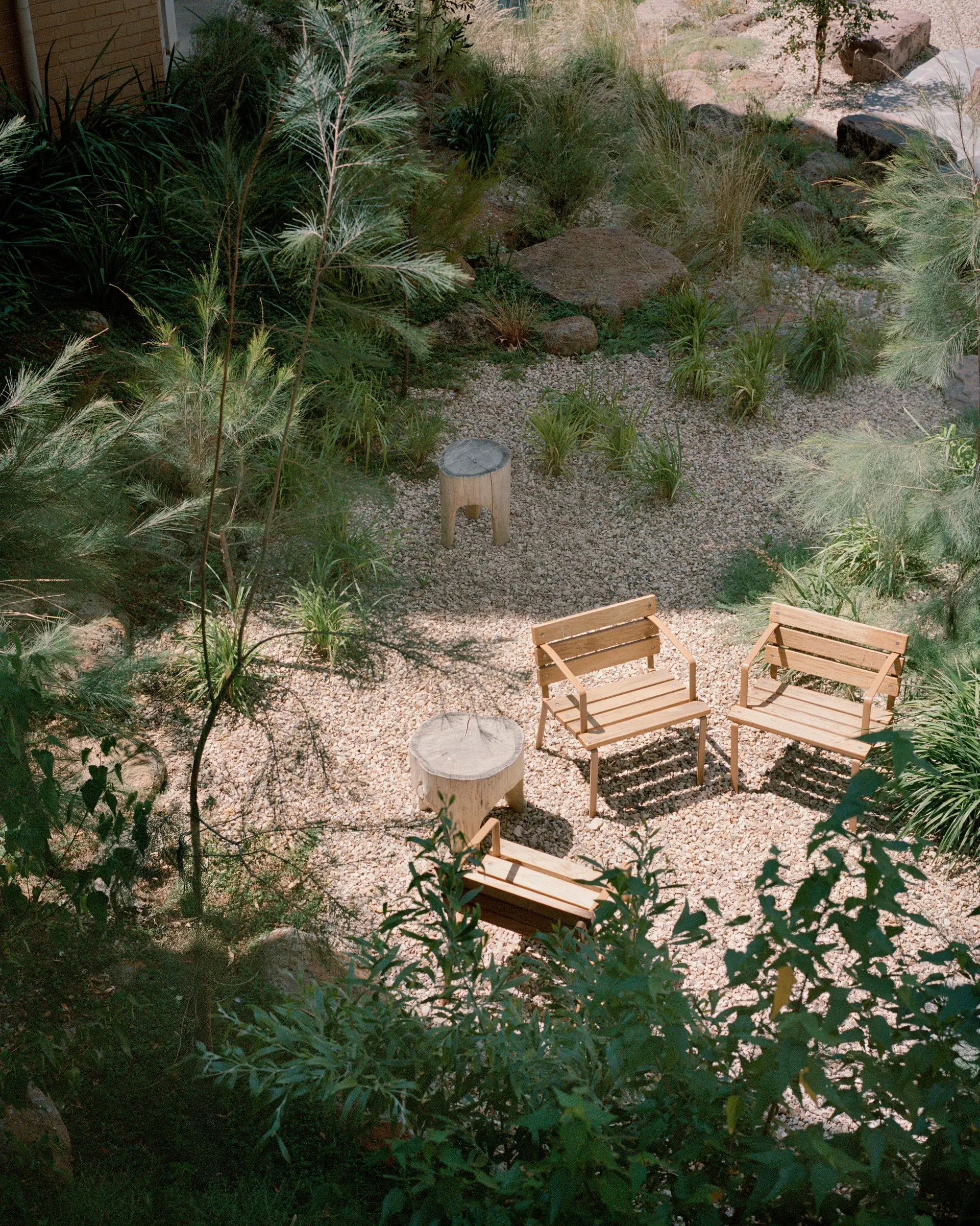
Elevated view of the Moondani Balluk courtyard with timber chairs on gravel among native planting at Victoria University

Moondani Balluk

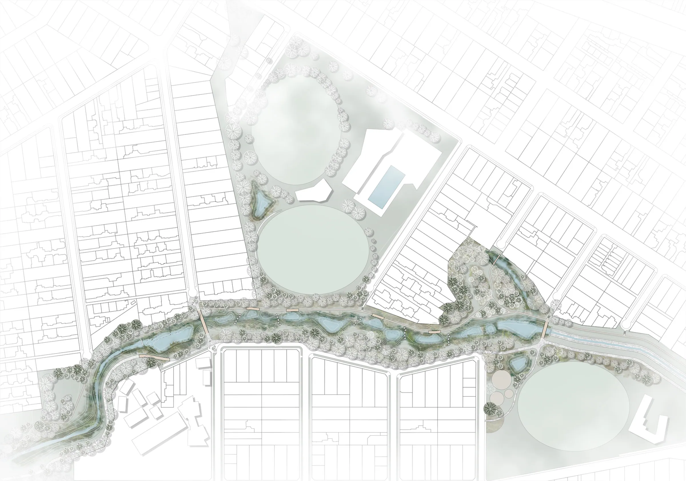
Concept plan of the Moonee Ponds Creek naturalisation, with a planted creek corridor winding past sports ovals

Moonee Ponds Creek Naturalisation

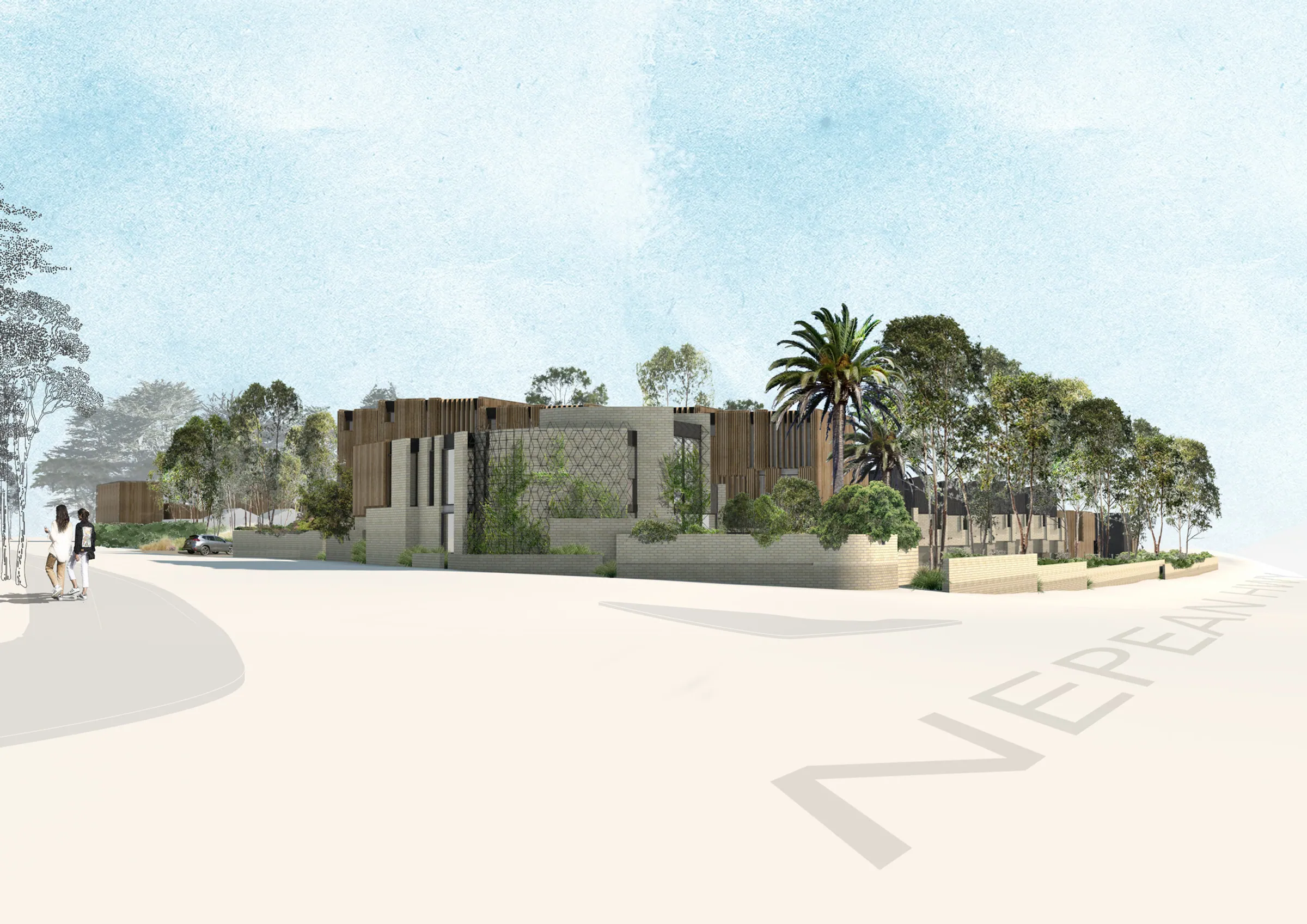
Rendering of the Mount Eliza development seen from the Nepean street corner with native planting

Mount Eliza

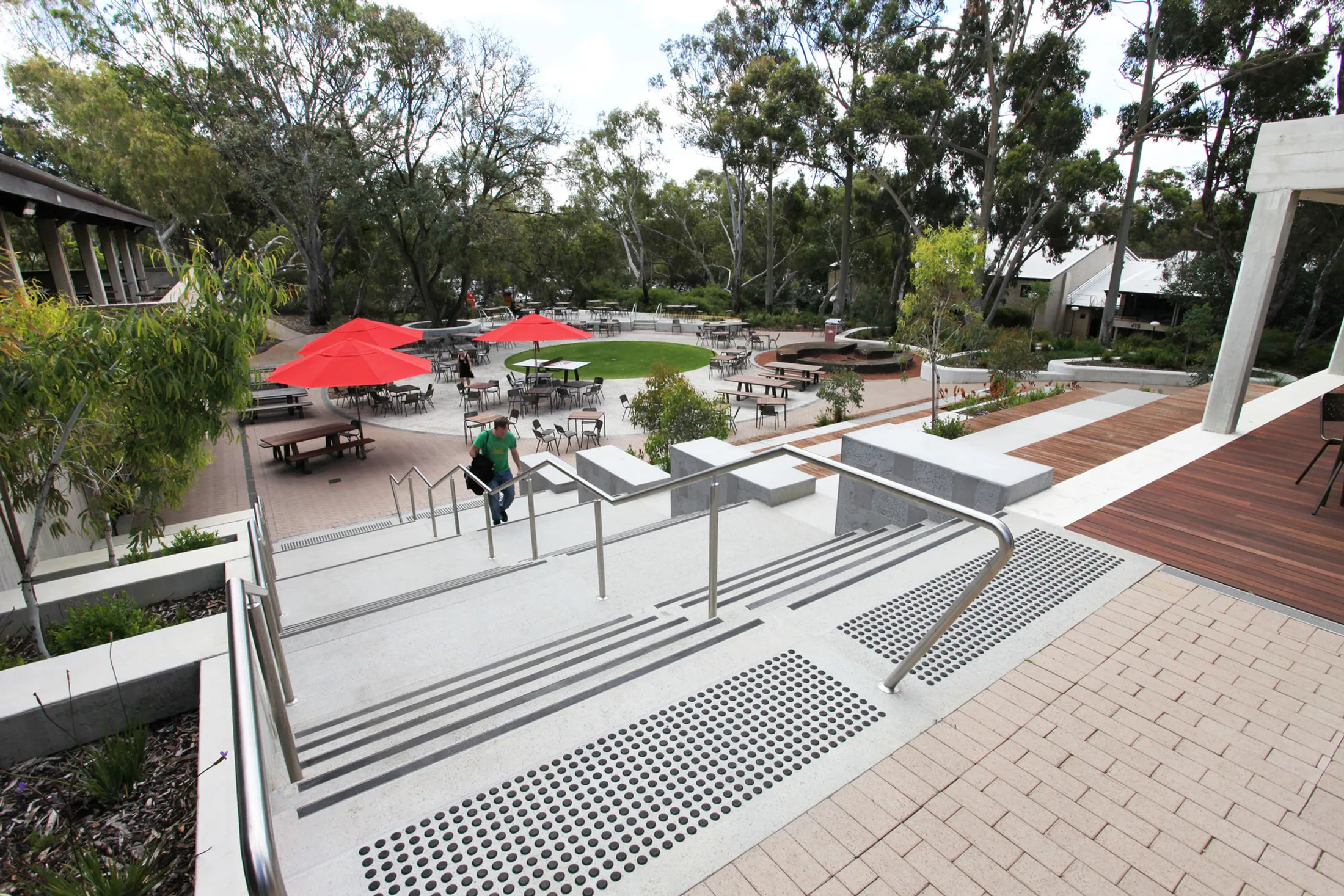
View down accessible stairs and a ramp to a courtyard with red umbrellas and lawn under gum trees, Murdoch University Student Hub

Murdoch University Student Hub

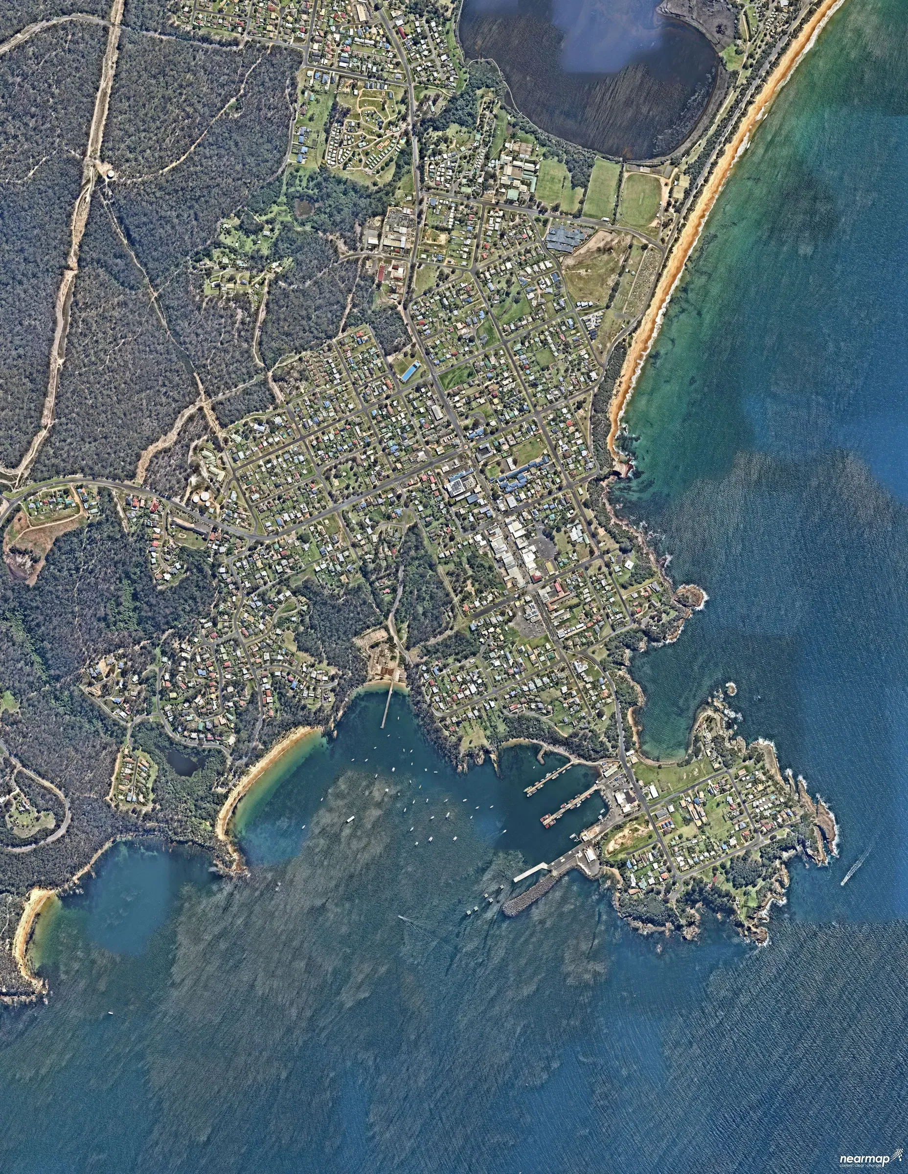
Aerial photograph of Eden on the NSW south coast showing the town, wharves, bays and surrounding bushland

NSW Coastal Design Guidelines

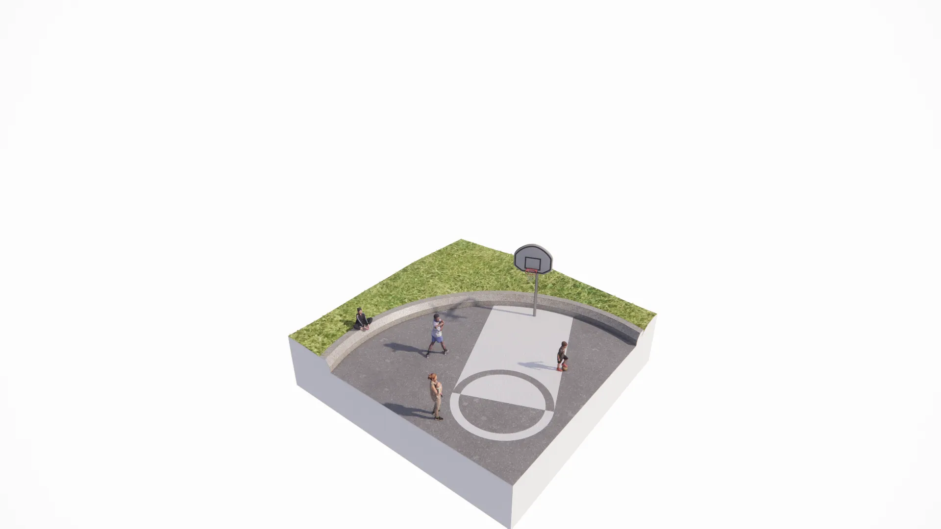
Rendering of a half basketball court at Queens Walk edged by lawn, with residents shooting hoops

Queens Walk Social Housing

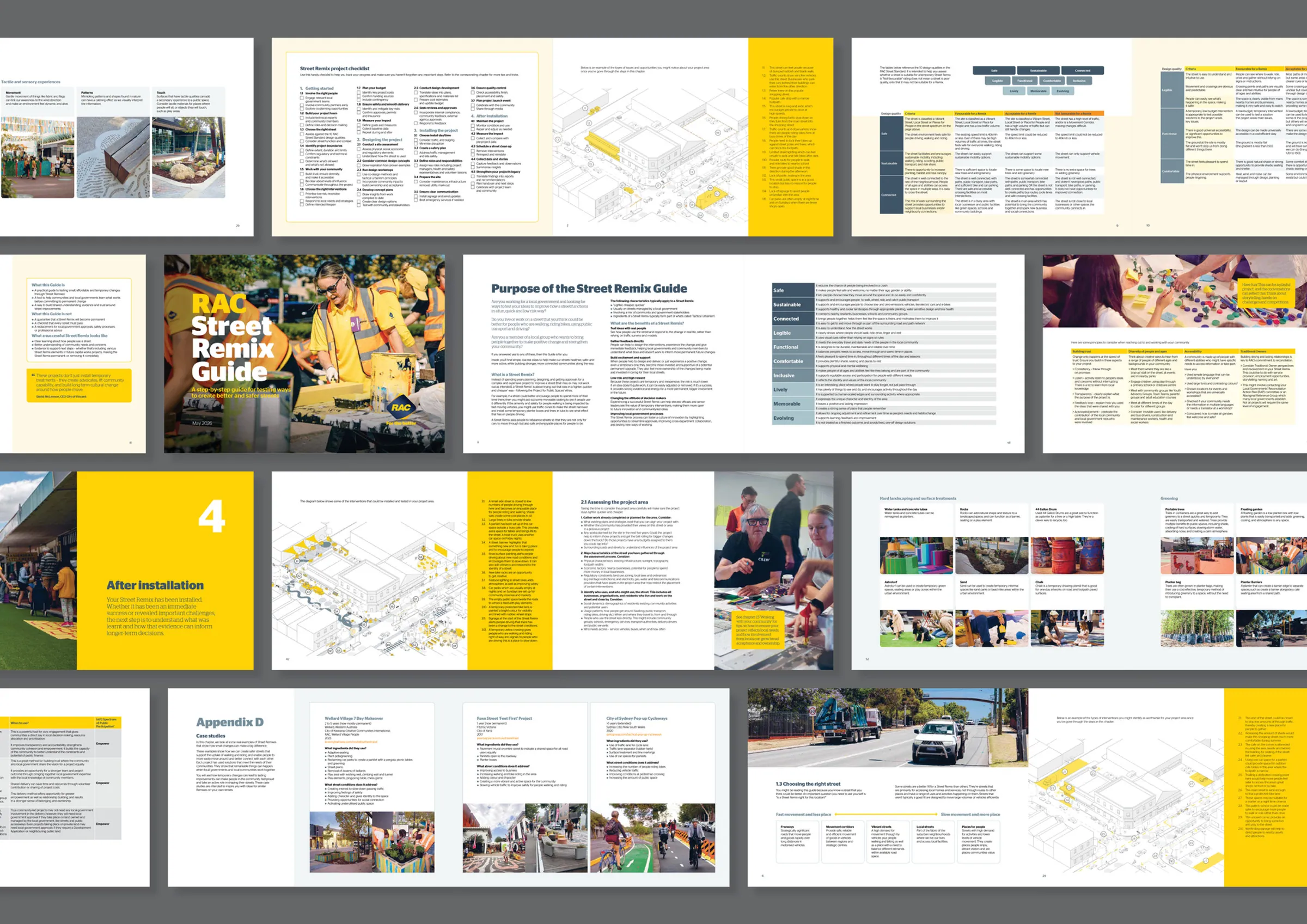
Spread of RAC Street Remix Guide pages showing diagrams, checklists, case studies and street photographs

RAC Street Remix Guide

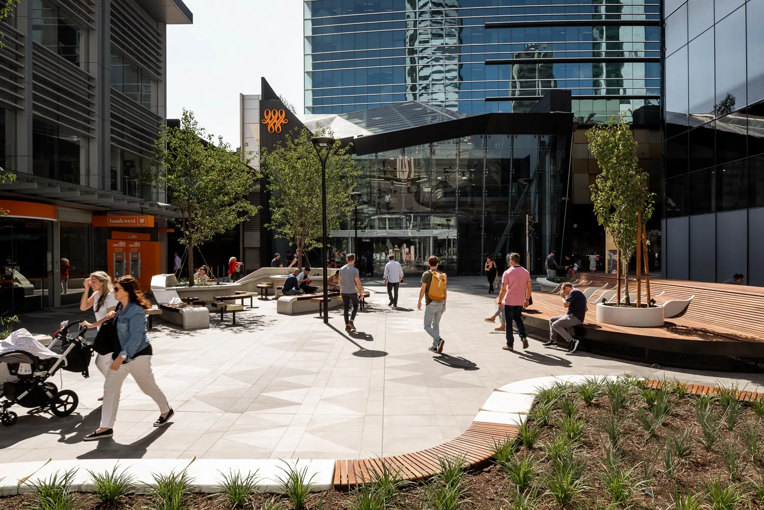
People walking through Raine Square's paved plaza past a low-planted garden bed and curved timber seating

Raine Square

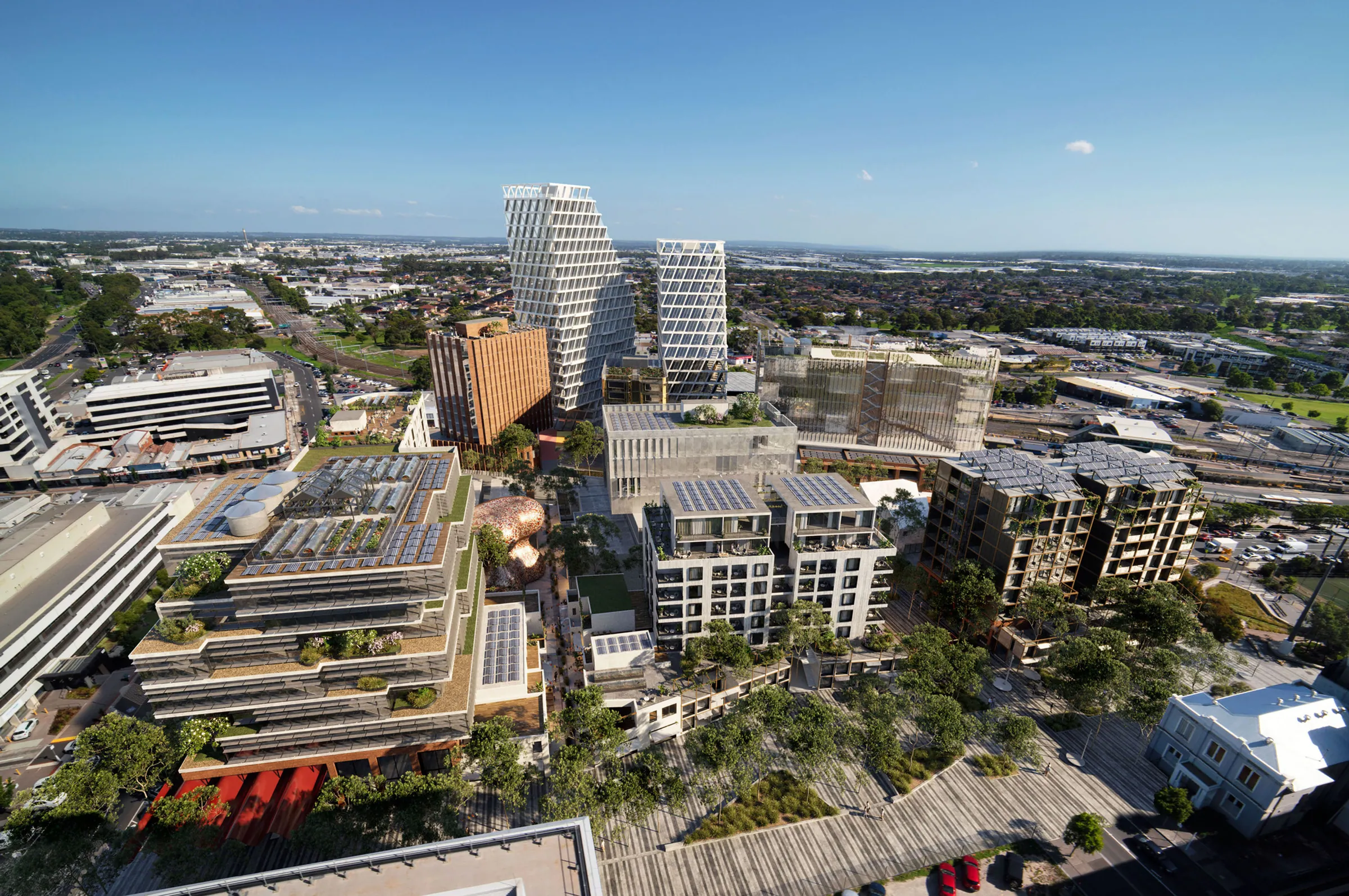
Aerial rendering of the Dandenong Mixed Use Precinct showing towers, green roofs and planted courtyards set into central Dandenong

Revitalising Dandenong

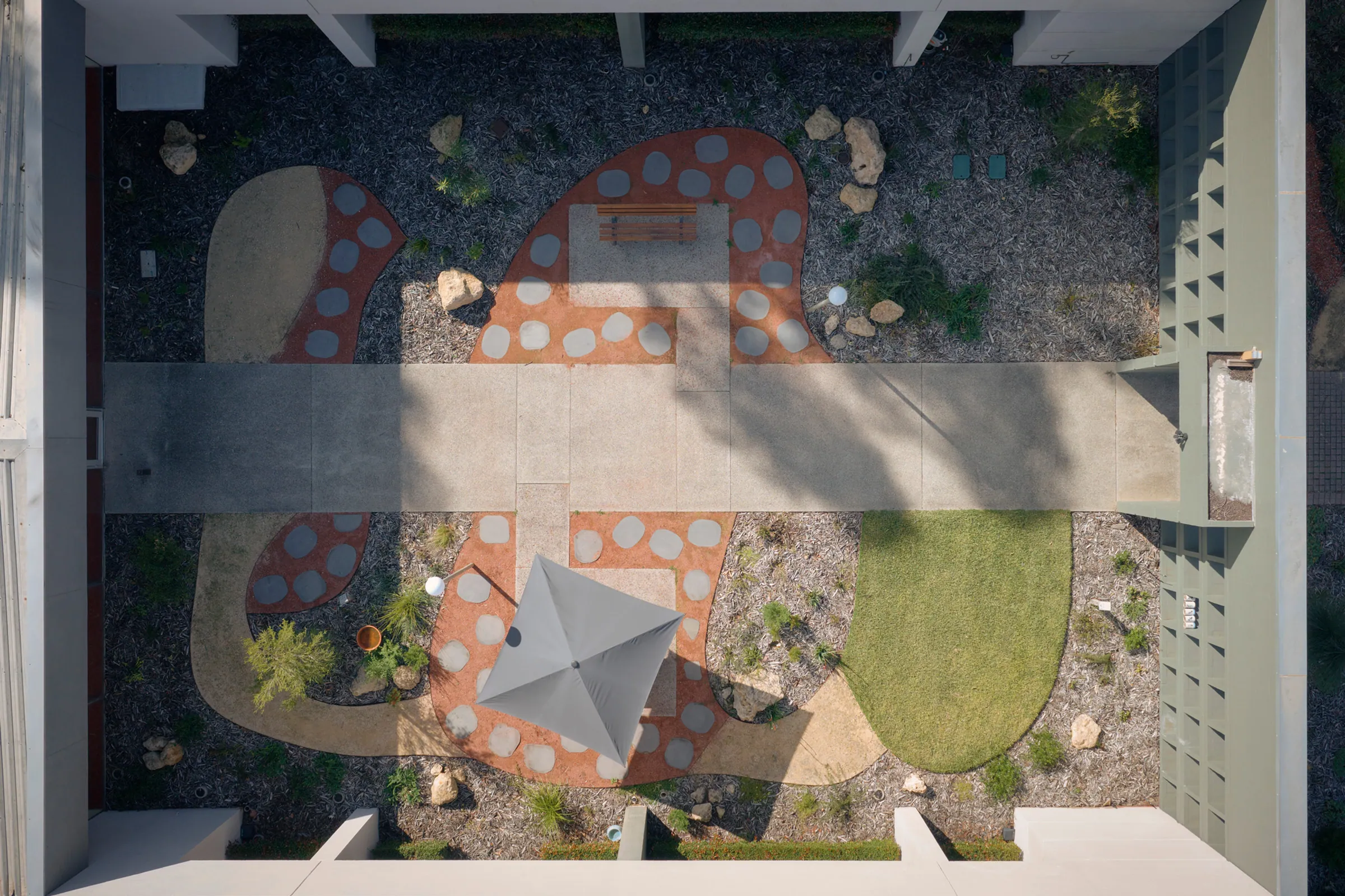
Overhead view of the ReWild Perth courtyard showing a central path, patterned red paving, gravel garden, lawn and umbrella

ReWild Perth Demonstration Garden

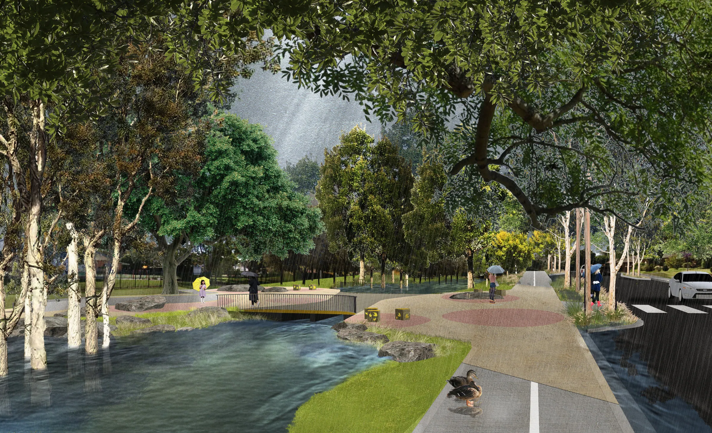
Rendering of the same Rosemeadow parkland in heavy rain, with the creek line flooded beside the path

Rosemeadow Demonstration Project

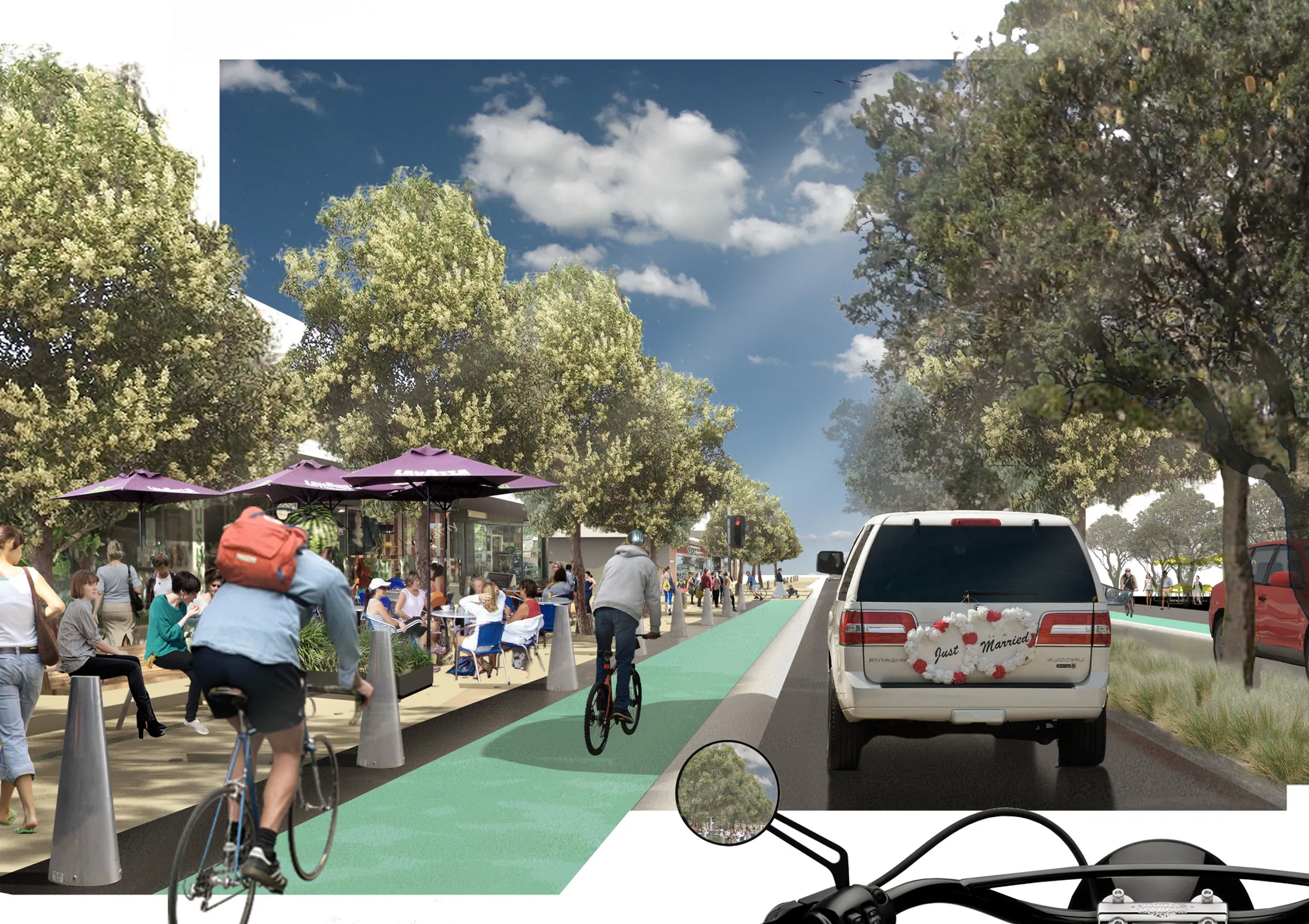
Rendering of the proposed Rye streetscape with a green bike lane, cafe seating and tree-lined footpath

Rye Township Plan

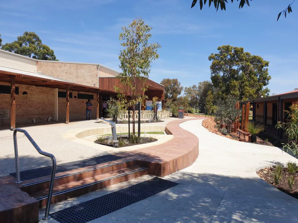
Curving pathway with low walls, steps and a circular planter linking Seville Grove Library and Champion Centre

Seville Grove & Champion Centre

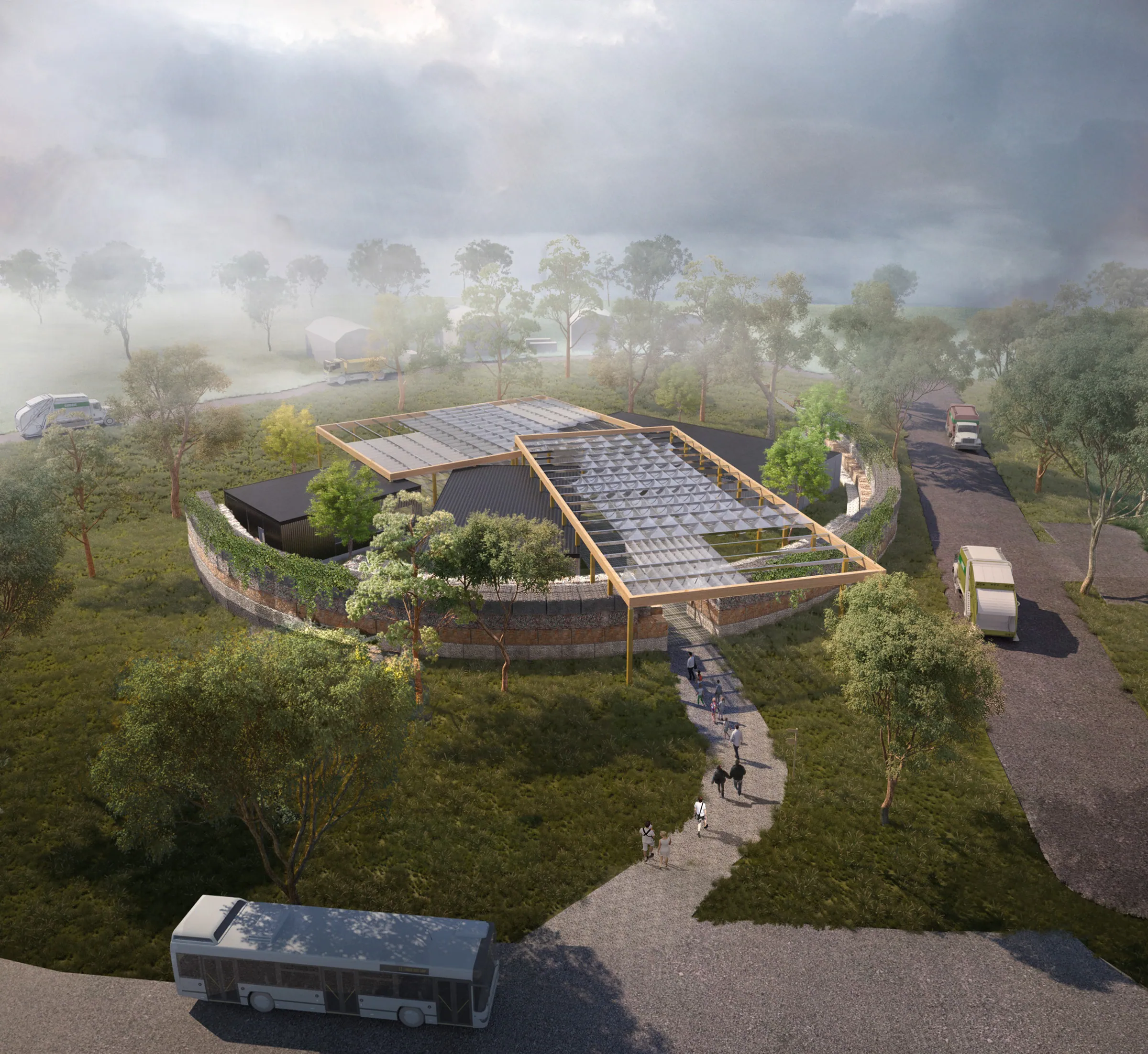
Aerial rendering of the Shoalhaven Resource Recovery Centre in bushland with a timber-framed canopy roof

Shoalhaven Resource Recovery Centre

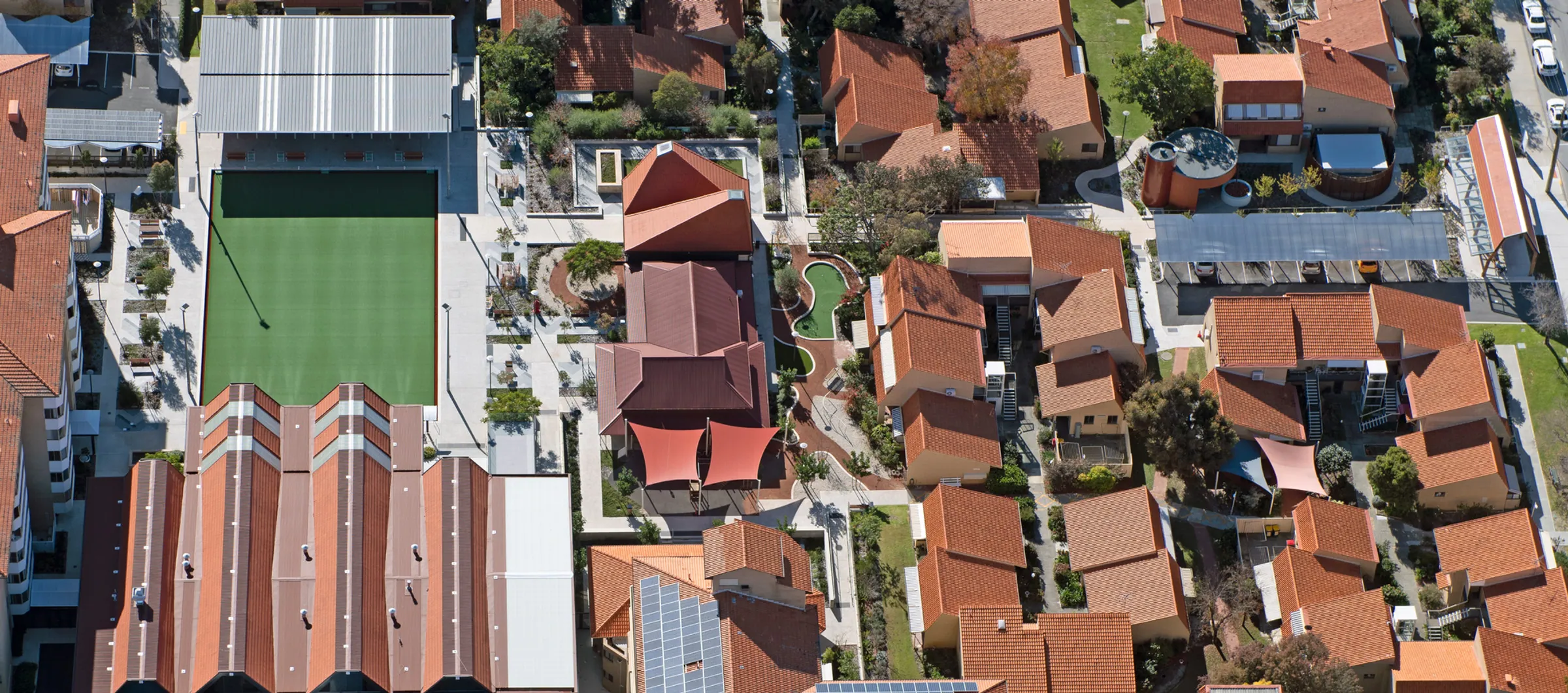
Aerial view of the Swancare Bentley Park campus showing the bowling green and leisure precinct among residences

Swancare Leisure Precinct

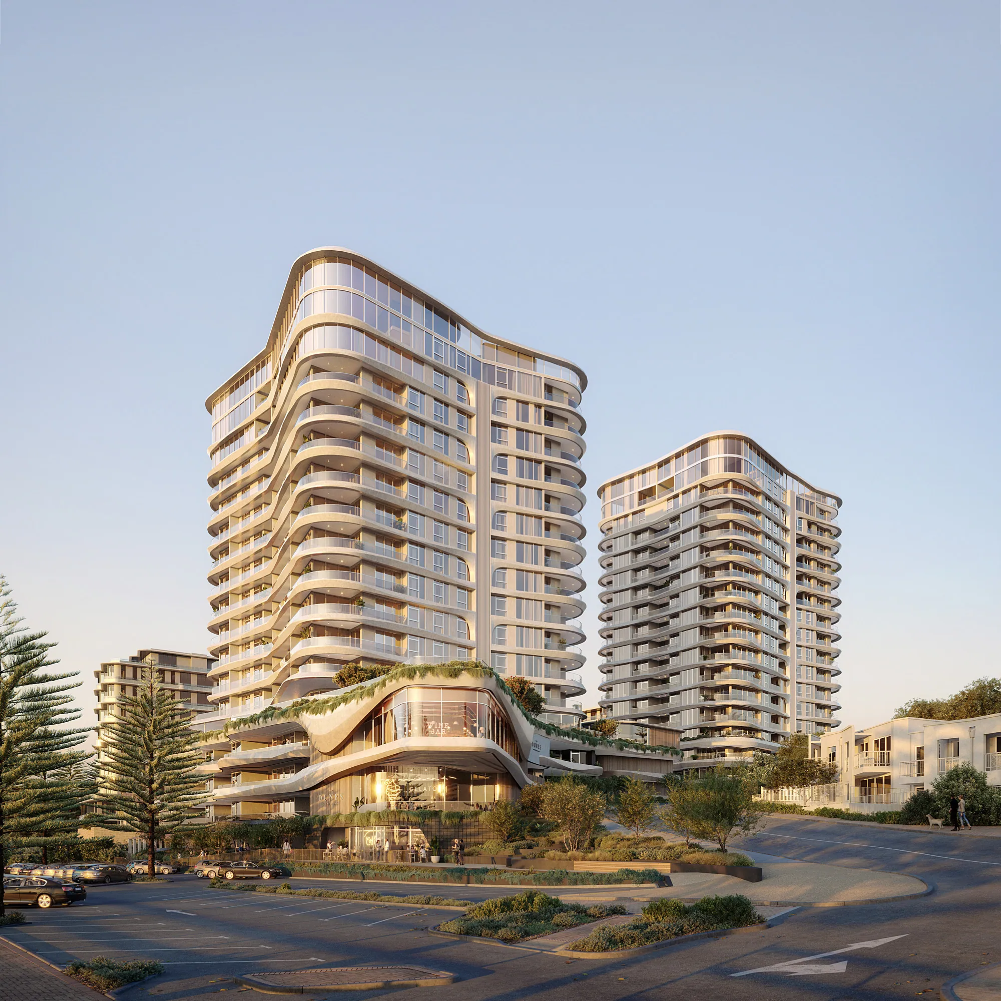
Rendering of The Dunes towers in Scarborough, with curving balconies and a planted podium above the street

The Dunes

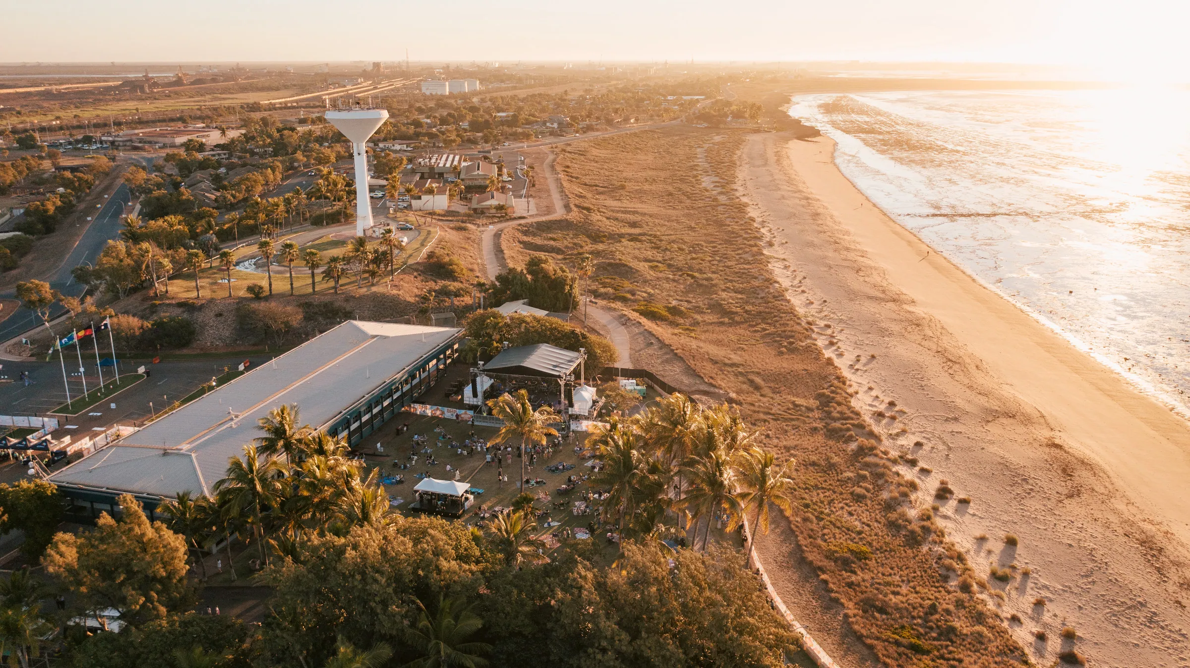
Aerial view of the Port Hedland foreshore in low sun, with the beach, palms and water tower beside town

The Town of Port Hedland’s Public Open Space and Street Tree Strategy

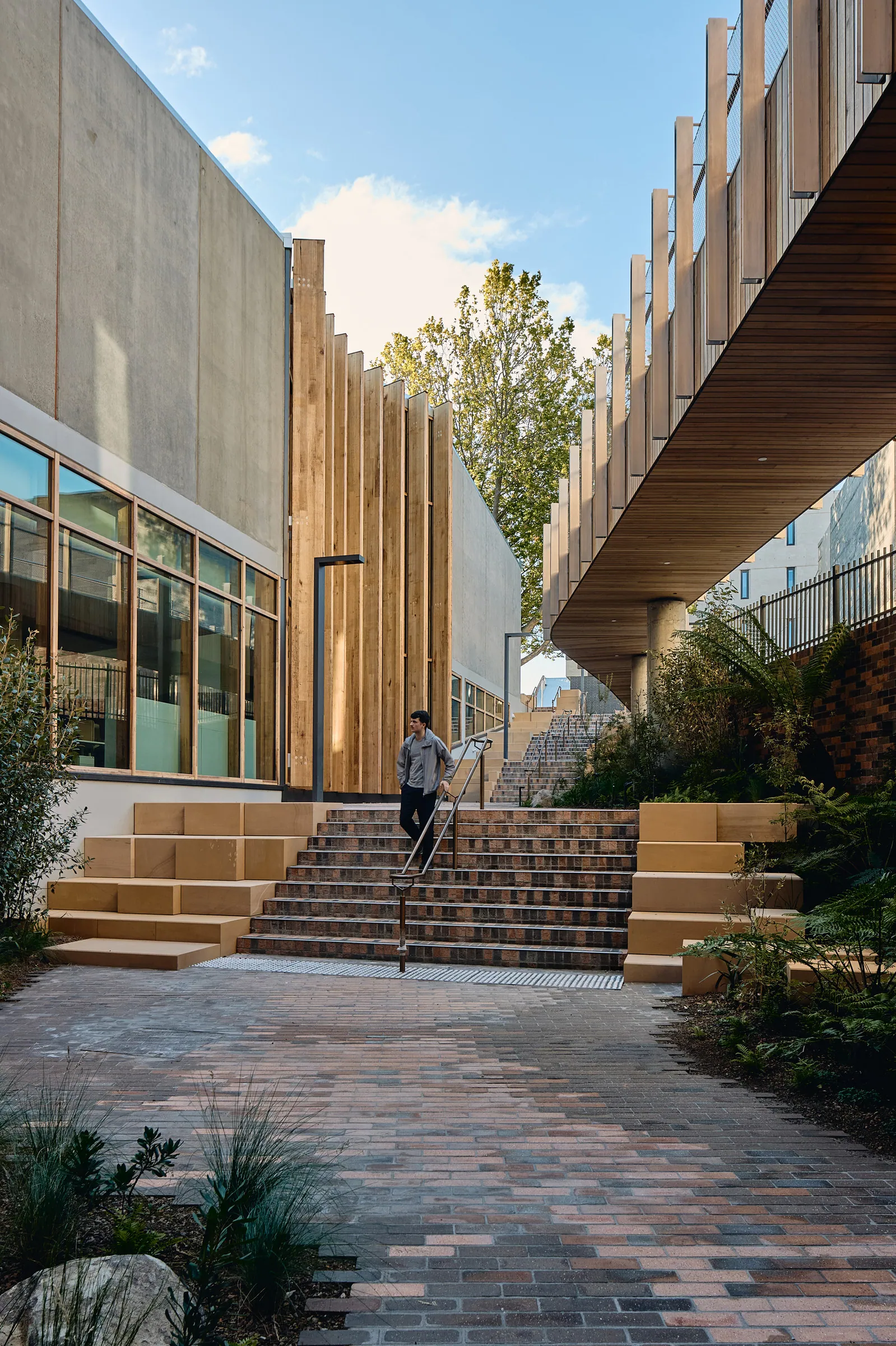
Brick-paved laneway with timber-capped steps and planting beside the UTAS Forestry Building in Hobart

UTAS Forestry

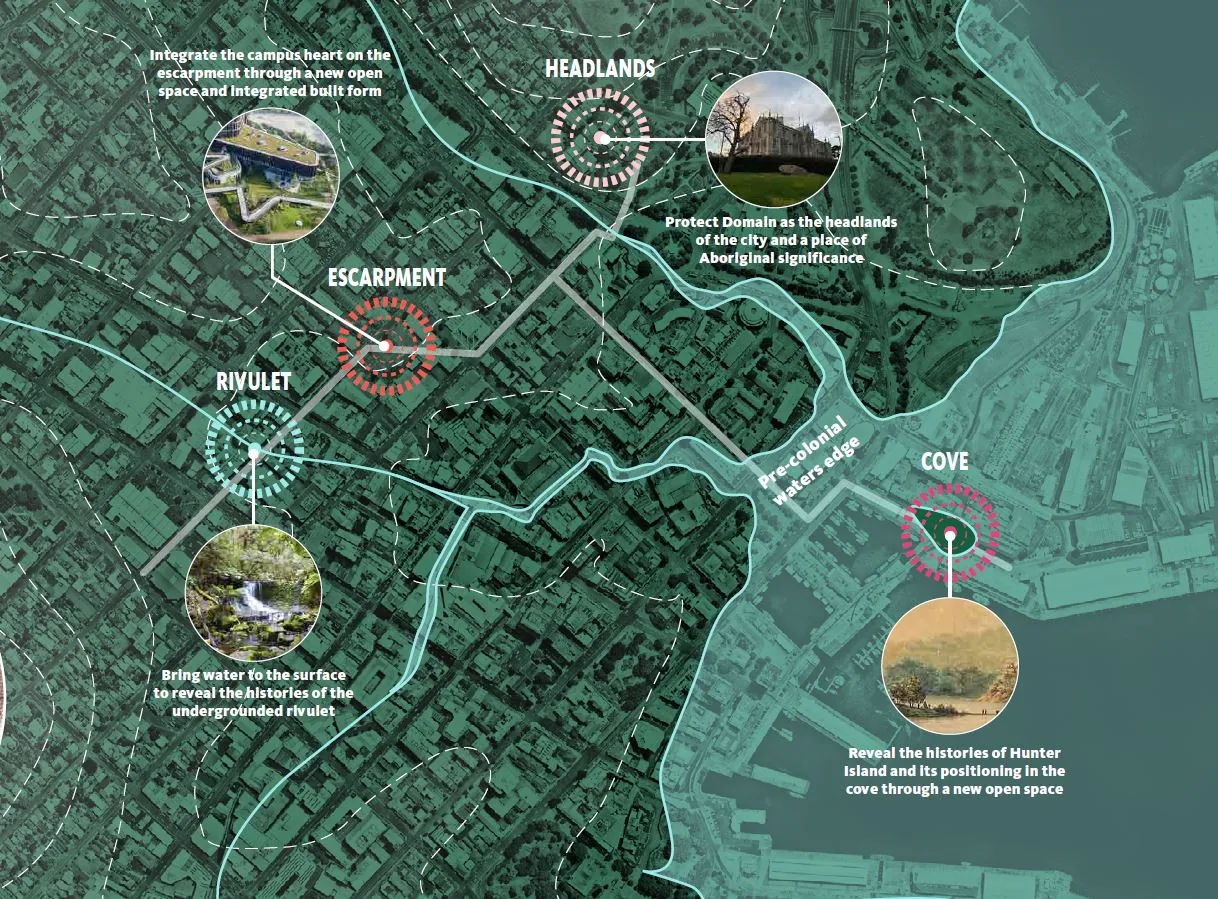
Place principles map of central Hobart marking the headlands, escarpment, rivulet and cove for the UTAS Hobart City Campus

UTAS Hobart City Campus

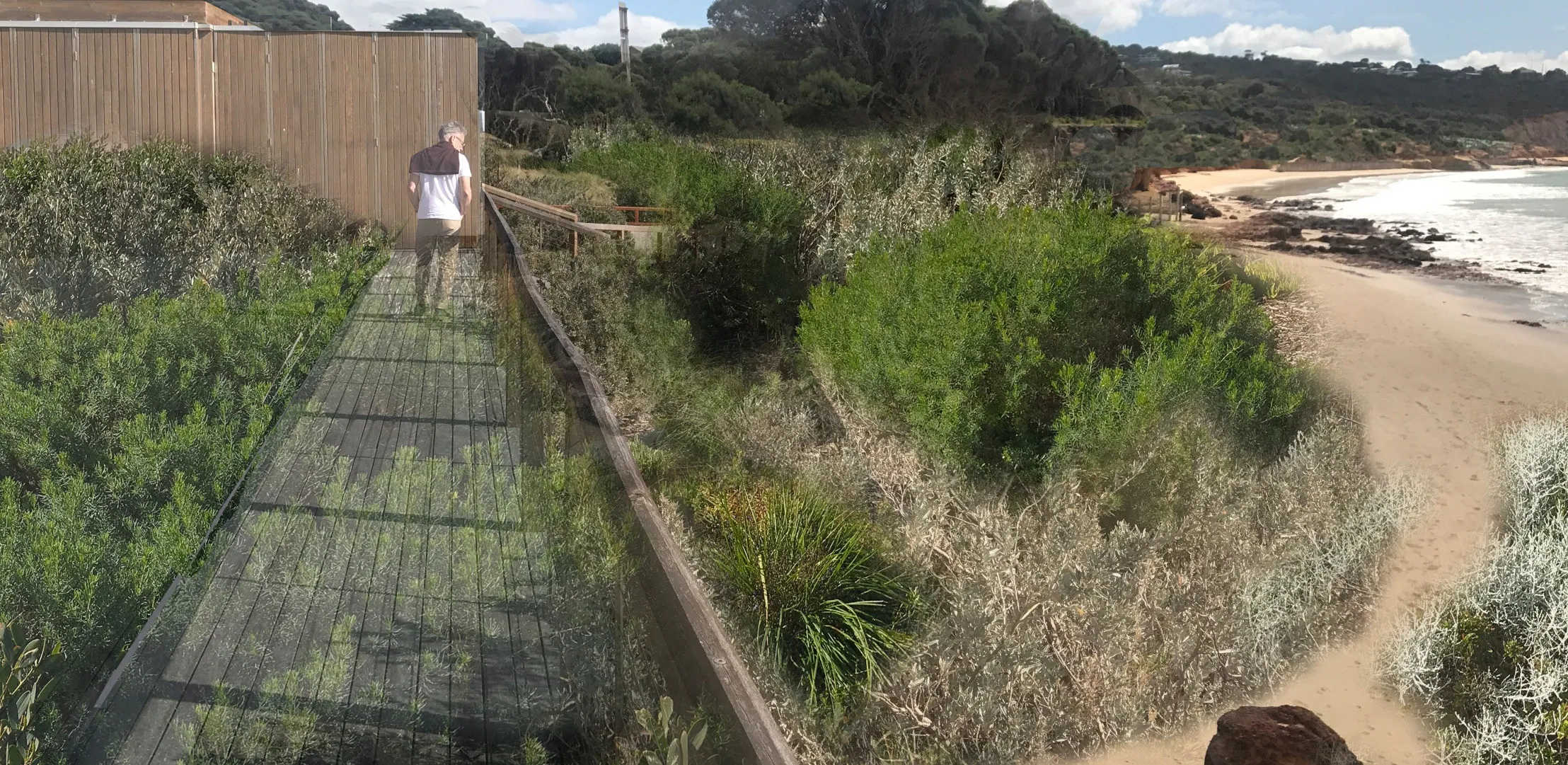
Visualisation of a walker on a timber boardwalk through coastal dune scrub beside a Victorian beach

Vic Coast Guidelines

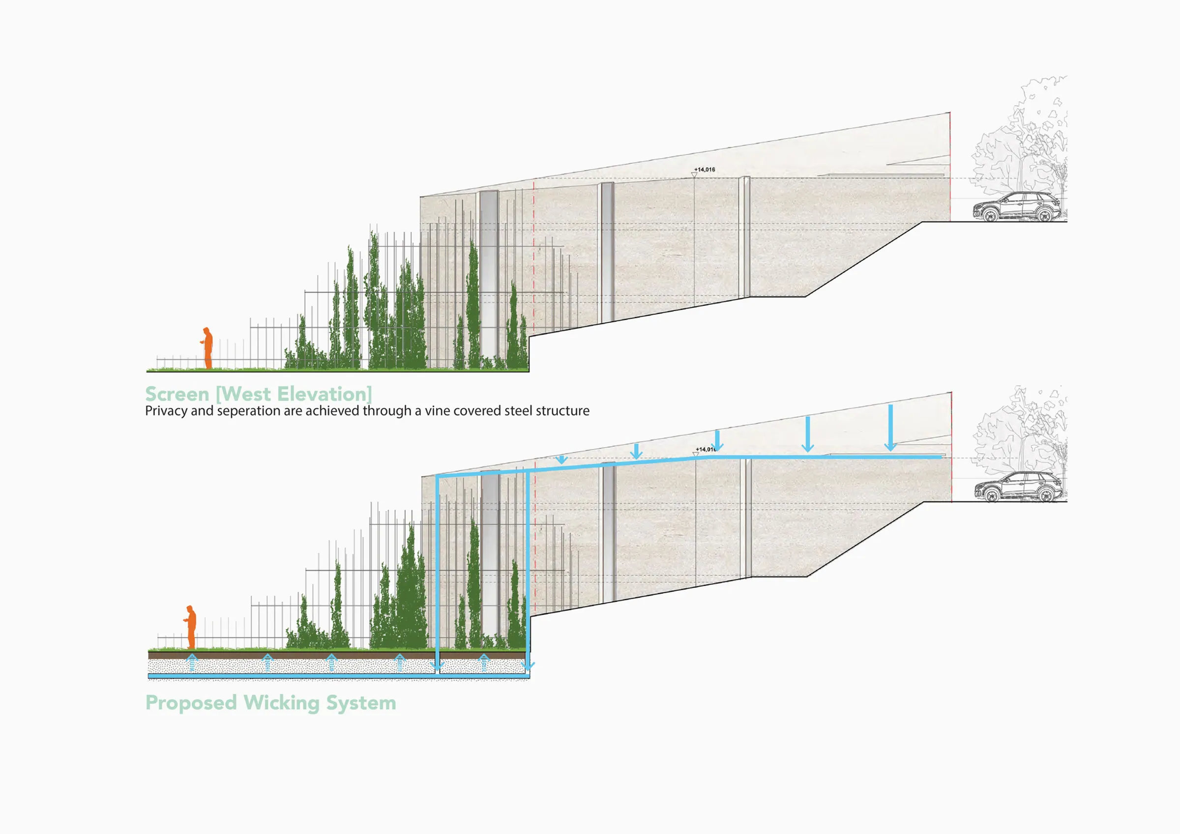
Elevations of the Viret Street vine-covered steel privacy screen and the proposed wicking irrigation system

Viret Street

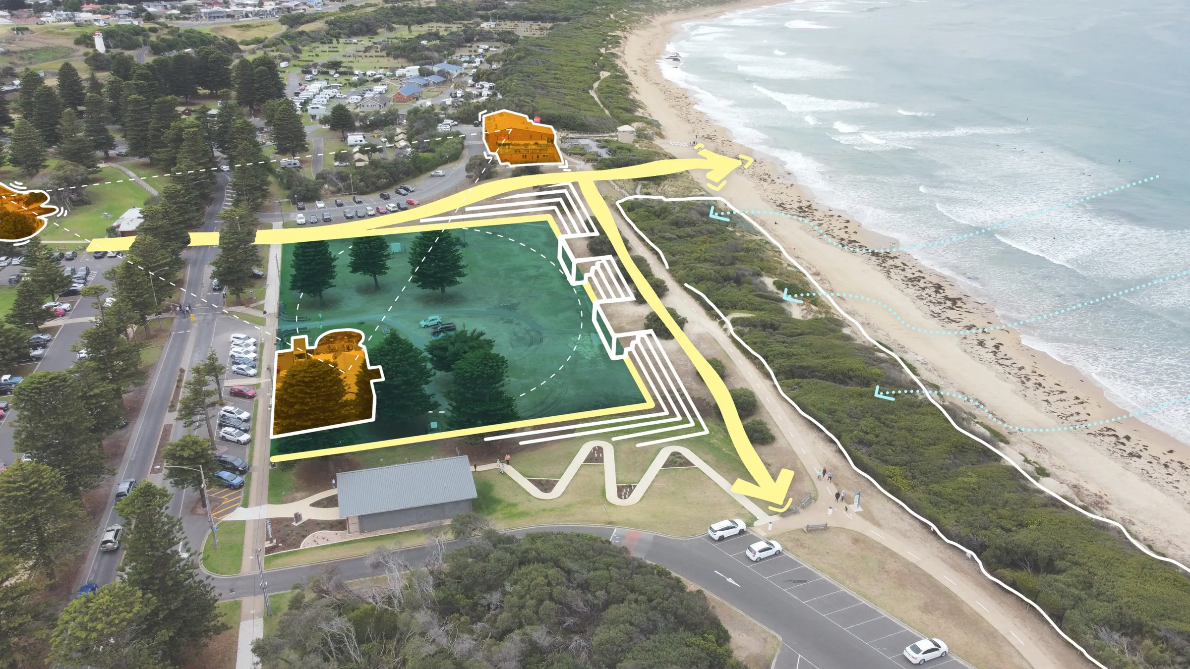
Annotated aerial of the Warrnambool foreshore showing a parkland site and proposed links to the beach

Warrnambool Foreshore Framework Plan

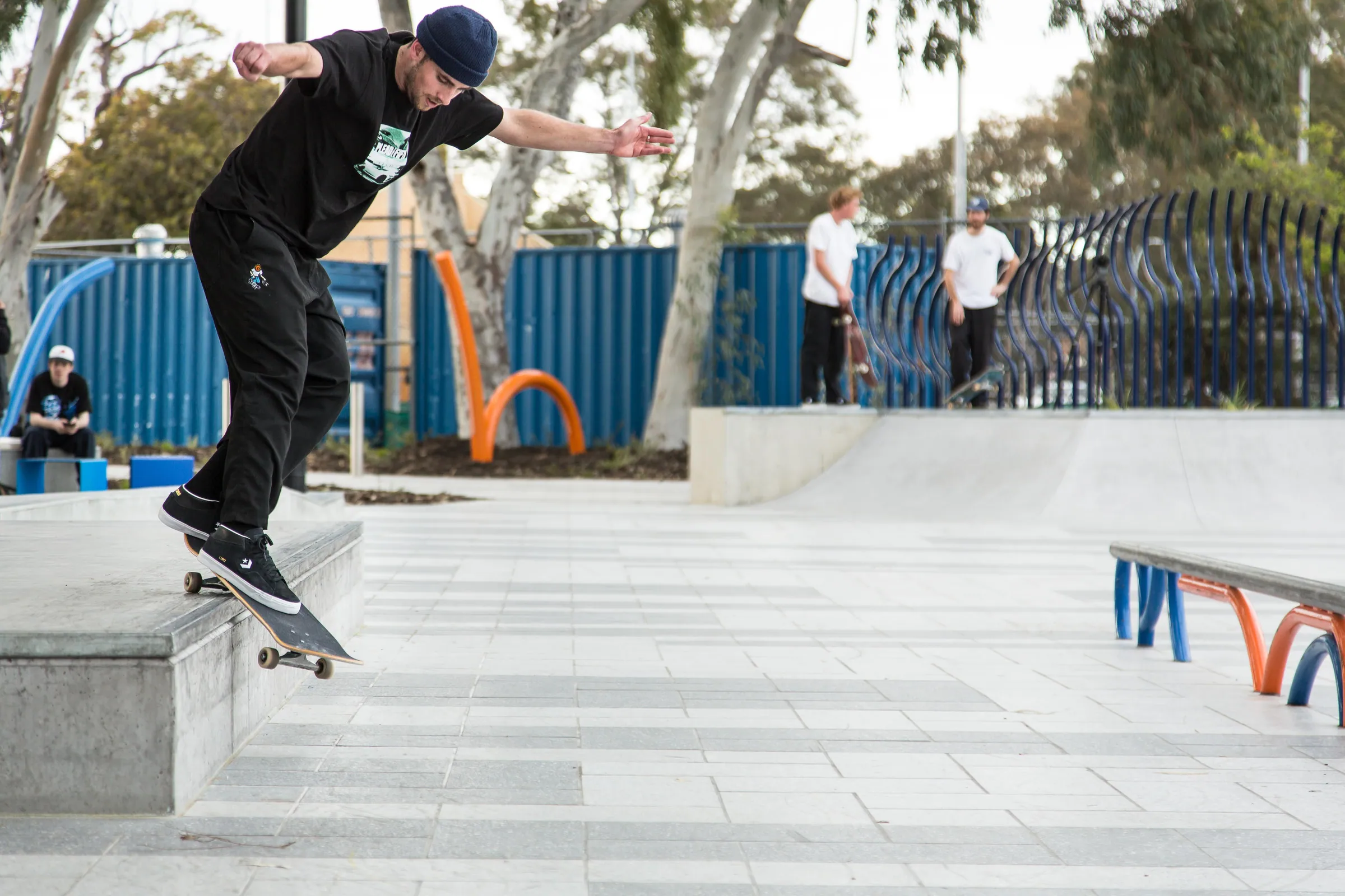
Skater balancing on a ledge at Willetton Skate Plaza with skateable blue and orange benches nearby

Willetton Skate Plaza